
~~~~~~~~~~~~~~~~~~~~~~
TABLE OF CONTENTS
* Daily Celestials (Sun/Moon Data)
* Weekly Weather Nutshell
* Morning Discussion
* TIP: Scroll below for sections, or read all
~~~~~~~~~~~~~~~~~~~~~~
YOUR DAILY CELESTIALS
~~~~~~~~~~~~~~~~~~~~~~
STAR:
–OUR STAR ROSE AT: 5:59am this morning
–OUR STAR WILL SET AT: 7:38pm this evening
–TOTAL DAYLIGHT TIME: 13 hours and 39 minutes
MOON:
–OUR MOON WILL RISE AT: 5:34pm this afternoon
–MOON RISE DIRECTION: East
–OUR MOON WILL SET AT: 5:20am tomorrow morning
–MOON SET DIRECTION: West
–MOON PHASE: Waxing Gibbous (94.2%)
~~~~~~~~~~~~~~~~~~~~~~
>>> A NOTE FROM OUR SPONSOR <<<
Dave Hayes The Weather Nut is Sponsored by Individual Community Members, Patrons, and Gerard, Ghazey & Bates, P.C. GGBPC is a Northampton-based law firm regarded as the voice of pragmatic and well-reasoned estate planning, elder law and tax guidance in Western Massachusetts. The firm specializes in estate planning law, and expertly handles other matters such as Elder Law, Tax Law, as well as Real Estate purchase, sales, and refinance transactions. Contact GGBPC today to see how they can help!
~~~~~~~~~~~~~~~~~~~~~~
YOUR WEEKLY WEATHER NUTSHELL
~~~~~~~~~~~~~~~~~~~~~~
–Clear early this morning, with increasing mid and high level clouds, especially south of Route 2 today
–Partly to mostly sunny at times in SVT/SWNH with filtered sunshine and cloudier skies at times in WMass, CMass & N.CT
–This is due to a storm passing south of our region that is throwing some clouds farther north than expected yesterday
–Highs upper 40s to mid 50s with westerly breezes
–Winds sit down tonight, and skies clear
–With very dry air in place, radiational cooling is maximized and temps will plummet into the upper 20s to low 30s
–This produces areas of frost around the region, with Frost Advisories up for northern CT
–Monday looks sunny with highs in the upper 40s to upper 50s
–Monday night is even colder than tonight with lows in the mid 20s to low 30s, and widespread frost is expected
–Tuesday looks sunny and high pressure pushes through and east of the region
–Southerly flow develops, with some gusty winds and highs in the upper 50s to mid 60s
–Temps will be higher at night, with lows in the low 40s as clouds increase
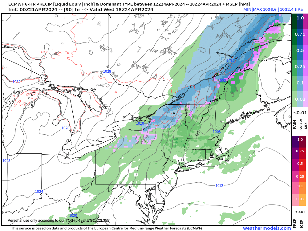
–Wednesday looks showery, the intensity of which is subject to change at this range, though right now it looks on the lighter side
–Highs in the low to mid 50s
–We clear out Wednesday night late, with temps falling to the upper 20s to low 30s with more frost potential
–Thursday and Friday look dry and mostly sunny for now, with highs either side of 50º Thursday, and milder and well into the 50s on Friday
–Saturday may end up being a dry, partly sunny day, but some more showers are probable before the following weekend is over
–All in all, a mostly dry forecast which should foster continued river recession and drainage
~~~~~~~~~~~~~~~~~~~~~~
YOUR MORNING DISCUSSION
~~~~~~~~~~~~~~~~~~~~~~
Good morning folks, we’re under a broad cyclonic flow stemming from a large gyre of circulation north of us in Canada that will keep the west to northwest flow of air into the region today through much of the upcoming week with one frontal boundary moving through the region on Wednesday which will bring our only bout of wet weather through Friday (and hopefully next Saturday as well).
Given this likely fair weather stretch, I am probably going to take Tuesday morning off, though will likely report that afternoon on our incoming wet weather.
While some enhanced fire spread is possible this week with breezy conditions at times and drying surfaces with low humidity, the main weather note on my mind are the several expected frosty early mornings between now and Thursday.
Monday morning, Tuesday morning, and Thursday morning all look to produce some frost, especially Tuesday morning as it looks now, with some lows in the mid 20s!
Frost Advisories are up for northern CT, and I’m not positive if the NWS issues them for MA, VT or NH this early in the growing season, but the bottom line is that frost will visit a number of us through the next bunch of days.
Otherwise, we’ve got 3 dry days on the way with increasing sunshine, though it will be filtered for some today due to high clouds from a storm passing to our south.
High pressure more firmly tracks into and through New England Monday and Tuesday which will be the brightest days.
A front moves through Wednesday with a period of showers, and there’s a low chance that event could “stand up” a bit and produce some heavier showers or even a thunderstorm, but it’s more likely to be a run of the mill frontal passage, with cooler air moving in behind the front for Wednesday night into Thursday, the morning of which looks frosty, as mentioned.
Late week looks sunny and clear with more high pressure and increasingly milder temps lasting into the weekend.
Saturday may become a transition day into cloudier skies with more showers possible by Sunday, but all in all folks, this next weather stretch is what I like to refer to as no-big-whoop weather.
I love, love, love the weather, but even a nut like me can appreciate calm, serene, and frankly boring weather conditions.
Everybody needs a pause in life at times.
Hope you have a great day!
>>> BE KIND <<<
“Hello babies. Welcome to Earth. It’s hot in the summer and cold in the winter. It’s round and wet and crowded. On the outside, babies, you’ve got a hundred years here. There’s only one rule that I know of, babies: Goddamn it, you’ve got to be kind.”
–Kurt Vonnegut