
TODAY’S NUTSHELL: More humid air has pressed northward into the region overnight, and will hang with us through Saturday night, by which time we will have seen scattered showers or a storm later today, dense fog tonight, more showers or a storm Friday afternoon and a potential for severe t-storms Saturday afternoon and evening. After that, Sunday transitions us with a few showers and cooler temps to a sunnier, breezy and drier northwest-flow pattern for the first half of next week.
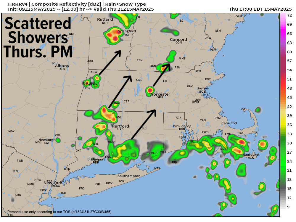
TABLE OF CONTENTS
* Daily Celestials (Sun/Moon)
* Sponsor Section
* Morning Discussion
~~~~~~~~~~~~~~~
YOUR DAILY CELESTIALS
~~~~~~~~~~~~~~~~~~~~~~
STAR:
–OUR STAR ROSE AT: 5:29am this morning
–OUR STAR SETS AT: 8:04pm this evening
–TOTAL DAYLIGHT TIME: 14 hours and 35 minutes
MOON:
–OUR MOON RISES AT: 11:29pm tonight
–MOON RISE DIRECTION: Southeast
–OUR MOON SETS AT: 7:53am tomorrow morning
–MOON SET DIRECTION: Southwest
–MOON PHASE: Waning Gibbous (92.9%)
~~~~~~~~~~~~~~~~~~~~~~
A NOTE FROM OUR SPONSOR
~~~~~~~~~~~~~~~~~~~~~~
Dave Hayes The Weather Nut is Sponsored by Individual Community Members, Patrons, and Tandem Bagel Company… No matter the weather, Tandem Bagel is always there for you at several valley locations to make your mornings brighter! With *New Pizza Bagels(!)*, along with bagels baked fresh daily (including Gluten-Free options), house-whipped cream cheese, coffee, and tons of lunch options, Tandem is the perfect quick stop for lunch, breakfast, or a coffee and bagel to go.
You can either 1) visit them in Easthampton, Northampton, Hadley, Florence, and/or West Springfield, 2) hire them to cater your next event, or 3) use their super-streamlined online ordering tool by visiting their website and clicking the “Catering” or “Order Online” links.
~~~~~~~~~~~~~~~~~~~~~~
YOUR MORNING DISCUSSION
~~~~~~~~~~~~~~~~~~~~~~
Good morning everybody, well, well, well, we certainly overachieved in far eastern parts of Hampden and Hampshire County and more so in northeast CT, CMass and eastern SWNH with a heavier batch of rainfall that developed as more humid air worked northward into the region along the east side of an approaching and weakening upper low pressure system.
This activity is heading off to the north and away, and we should see a reprieve in the wet weather save for an isolated shower or drizzle patch, until about mid afternoon.
Highs will reach the low to mid 70s today and humidity will continue to be elevated, not only for today, but through Friday and Saturday as well before we start to dry out on Sunday into next week (temps will also cool during that period as we dry).
For this afternoon, we may see some sunny breaks form, and with this new humidity increase, it could help pop not only some additional scattered showers later this afternoon, but also some non-severe thunderstorms which would be firing off our higher-terrain areas west of the CT River. Downpours would be the main issue with any storms.
For tonight, activity dissipates, and it will be quite mild, humid and still, and as temps cool to the upper 50s to low 60s, patchy dense fog is expected in spots, lasting into early to mid Friday morning.
For Friday, we should start off dry rain-wise, and highs should climb into the 75-80º range. By later in the afternoon, another round of scattered warm-frontal-based showers or a thunderstorm pushes southwest to northeast into our region. Lows will again hang in the low 60s as higher humidity continues, and some showers will be around for Friday evening, dissipating late.
By Saturday, we’ll see our warm front to our east, and we’ll be firmly in the humid sector with highs again reaching the 75-80º range.
This time, a cold front will be making a beeline to the greater WMass region, draped off of a low pressure system tracking east through southern Canada.
Because we’ll be in a very humid air mass for this time of year, with plenty of moisture around, and increasing wind shear moving in ahead of the cold front, isolated strong to severe thunderstorms will be possible, with a localized damaging wind threat.
First showers likely move in by early to mid afternoon, and by later in the afternoon heavier downpours and thunderstorms will be possible.
The cold front will sweep the region Saturday night and take its showers and thunderstorms east and out to sea with it. After lows drop into the mid 50s, we’ll arrive into a cooler day on Sunday with highs in the 60s and some scattered instability showers as humidity begins to decrease. Lows Sunday night drop into the 40s as we dry out further.
By early to middle of next week we establish a northwest flow which will bring cooler and drier air into the region on gusty northwest winds reaching 20-30mph at times. This will support highs into the 60s and lows in the 40s under partly sunny skies during the day, and partly cloudy skies at night.
We have some soup to get through, folks, and then more niceness will return!
Have a great day!
“Follow your bliss and the universe will open doors for you where there were only walls.”
― Joseph Campbell