
YOUR NUTSHELL: Aside from a few scant pics, last night’s Aurora was a bust. They are notoriously difficult to determine, but it was worth the look outside after dark. As for our weather, aside from a few light showers this morning, we’re warming and drying through about Thursday noon as high pressure tracks east from the Ohio Valley to the south of New England. This will transport warmer and more humid air our way, and we’ll really start to feel it Wednesday, with peak heat on Thursday when some folks may hit 90º. It may also transport some Canadian wildfire smoke into the region, lowering air quality, so I will be watching that. By Thursday afternoon and evening some pop-up showers and thunderstorms are possible before a cold front moves through sometime on Friday and/or Saturday. If the front comes through during peak heat of the day, we could get some strong storms to blow skyward, so I’ll be on top of that potential and convey any forecast changes to you as the week skips along.
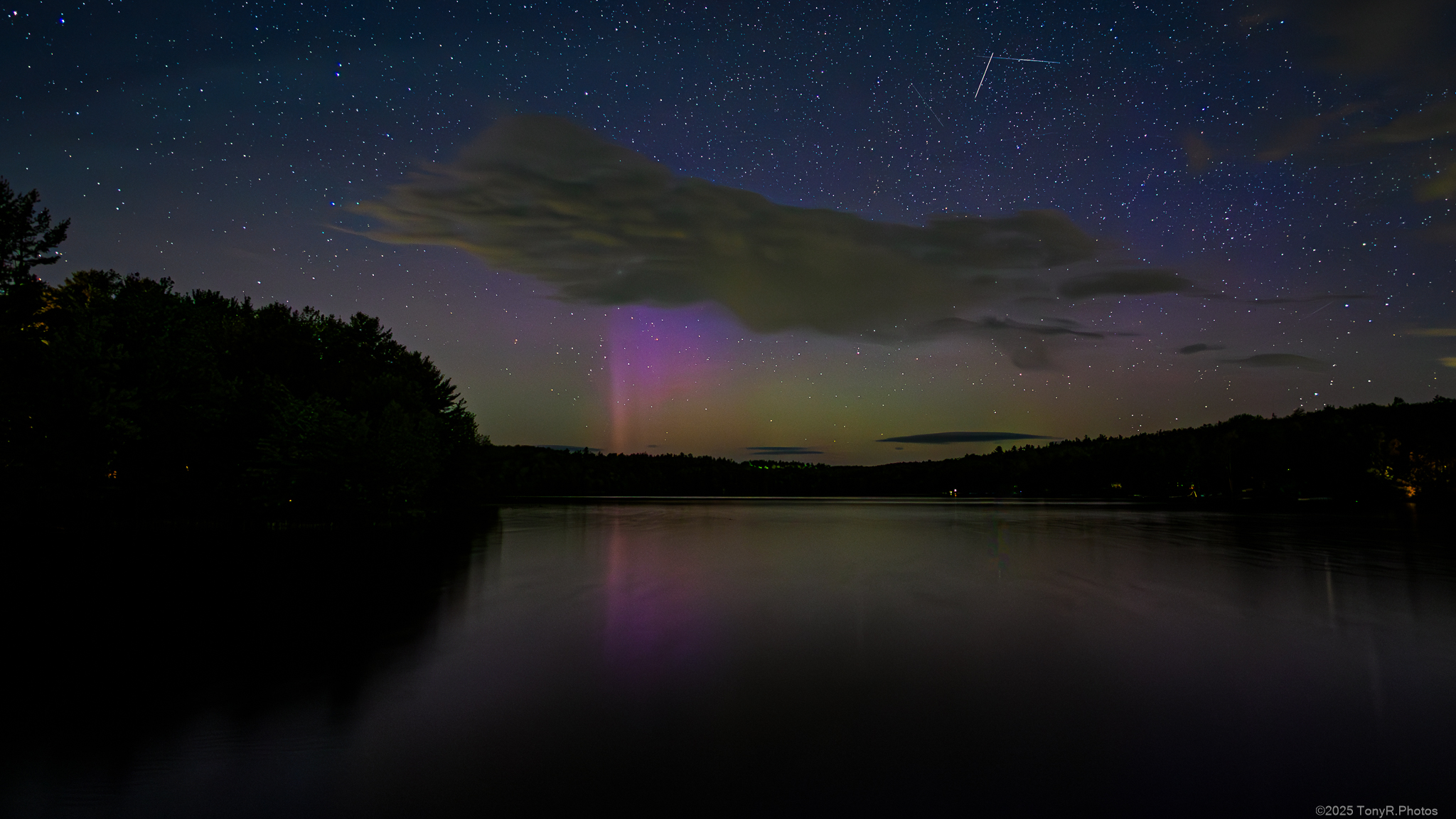
TABLE OF CONTENTS
* Daily Celestials (Sun/Moon)
* Sponsor Section
* Morning Discussion
~~~~~~~~~~~~~~~
YOUR DAILY CELESTIALS
~~~~~~~~~~~~~~~~~~~~~~
STAR:
–OUR STAR ROSE AT: 5:16am this morning
–OUR STAR SETS AT: 8:20pm this evening
–TOTAL DAYLIGHT TIME: 15 hours and 4 minutes
MOON:
–OUR MOON RISES AT: 12:03pm this afternoon
–MOON RISE DIRECTION: East-Northeast
–OUR MOON SETS AT: 1:29am tomorrow morning
–MOON SET DIRECTION: West
–MOON PHASE: Waxing Crescent (43.1%)
~~~~~~~~~~~~~~~~~~~~~~
A NOTE FROM OUR SPONSOR
~~~~~~~~~~~~~~~~~~~~~~
Dave Hayes The Weather Nut is Sponsored by Individual Community Members, Patrons, and Tandem Bagel Company… No matter the weather, Tandem Bagel is always there for you at several valley locations to make your mornings brighter! With *New Pizza Bagels(!)*, along with bagels baked fresh daily (including Gluten-Free options), house-whipped cream cheese, coffee, and tons of lunch options, Tandem is the perfect quick stop for lunch, breakfast, or a coffee and bagel to go.
You can either 1) visit them in Easthampton, Northampton, Hadley, Florence, West Springfield, and/or Ludlow, 2) hire them to cater your next event, or 3) use their super-streamlined online ordering tool by visiting their website and clicking the “Catering” or “Order Online” links.
~~~~~~~~~~~~~~~~~~~~~~
YOUR MORNING DISCUSSION
~~~~~~~~~~~~~~~~~~~~~~
Good morning folks, we’ve got a summery stretch straight ahead, with today being the last 24-hour period that remains under the scant influence of our departing upper low. This will result in a mostly sunny day (after this final sweep of clouds and a shower or two tracks east this morning) with highs in the upper 60s to low 70s, and lows in the low to mid 40s for one more chilly night.
While I don’t think we’re blasting into heat for weeks here, some sensitive folks may think about tossing the window ACs into position by tomorrow morning, as the heat and humidity cometh.
For Tuesday, we’ll enjoy one last day of lower humidity with highs well into the 70s with a few folks touching 80º under sunny skies as high pressure presses through the region, remaining south of us. Lows will dip to the 50s.
As the high continues south of us, its clockwise circulation will pump warmer and muggier air into our region, with dewpoints climbing into the mid 60s by Wednesday with highs in the upper 70s to mid 80s under sunny skies. Lows will now only hang in the low to mid 60s as humidity continues to increase, with some patchy fog possible at night.
By Thursday, our peak heat arrives for this warm pulse, as highs are likely to soar into the mid 80s to low 90s. With humidity rising and dewpoints increasing to 65-70º, we may see some Heat Advisories hosted for the lower Pioneer Valley down into north-central CT.
Some pop-up showers and thunderstorms may form in this instability, likely fired off of the high terrain, the mountains of which force unstable air to rise. Lows will hang in the mid 60s as humidity continues.
By Friday into Saturday, a cold front is likely going to be approaching the region, and depending on the timing of said front, we could see some strong too perhaps even severe thunderstorms form and sweep through the region, but that Friday to Saturday period is looking murky at the moment, so I will have to update you as we get closer.
We may see more showers on Saturday, so start practicing your ‘brow raises and your gentle smiles to try and stand up to the inevitable suffering we all must face, including the potential for another partially-wet weekend.
At least the pattern is shaking up, so that bodes better for the wavelength we’ve gotten stuck in, which has promoted wet weekends for weeks on end.
Have a great day, and may good things come your way! #FaceYoga
“Follow your bliss and the universe will open doors for you where there were only walls.”
― Joseph Campbell