
For tonight, the wind should die down with time and lows will dip into the low to mid 50s.
For Friday, we should enjoy one last dry day with cooler highs in the mid to upper 70s, which is about average for this time of year.
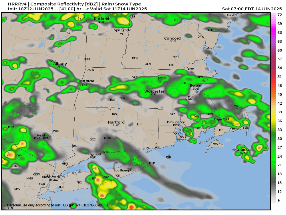
Clouds will increase at night as a disturbance (different from my own personal bundle of agita) tracks into southern New England, bringing some scattered showers late Friday night with lows in the 55-60º range.
Saturday morning looks to feature periods of showers, with a general weakening trend by afternoon as high pressure from the north starts sagging south into New England.
Highs will only reach the mid to upper 60s on Saturday with lows in the 50s as any isolated showers wane.
Sunday looks drier, with potential for partly sunny skies and highs in the low 70s, before more showers are possible by early next week.
No washouts or big thunderstorms are expected through the middle of next week, at which time temps will start coming up into the 80s for highs.
By late week, we could get back into some showers and thunderstorms, and I will keep you update.
Have a great night, Dave.