
TABLE OF CONTENTS
* Daily Celestials (Sun/Moon Data)
* Sponsor Note
* Join My Newsletter
(& get my Top12WMassStorms ebook!)
* Morning Discussion
* TIP: Scroll below for sections, or read all
~~~~~~~~~~~~~~~~~~~~~~
YOUR DAILY CELESTIALS
~~~~~~~~~~~~~~~~~~~~~~
STAR:
–OUR STAR ROSE AT: 5:41am this morning
–OUR STAR WILL SET AT: 8:11pm this evening
–TOTAL DAYLIGHT TIME: 14 hours and 30 minutes
MOON:
–OUR MOON WILL SET AT: 3:43pm this afternoon
–MOON SET DIRECTION: West-Northwest
–OUR MOON WILL RISE AT: 12:42am tomorrow morning
–MOON RISE DIRECTION: Northeast
–MOON PHASE: Waning Crescent (35.4%)
~~~~~~~~~~~~~~~~~~~~~~
A NOTE FROM OUR SPONSOR
~~~~~~~~~~~~~~~~~~~~~~
Dave Hayes The Weather Nut is Sponsored by Individual Community Members, Patrons, and Tandem Bagel Company… No matter the weather, Tandem Bagel is always there for you at several valley locations to make your mornings brighter! With *New Pizza Bagels(!)*, along with bagels baked fresh daily (including Gluten-Free options), house-whipped cream cheese, coffee, and tons of lunch options, Tandem is the perfect quick stop for lunch, breakfast, or a coffee and bagel to go.
You can either A) visit them in Easthampton, Northampton, Hadley, Florence, and/or West Springfield, 😎 hire them to cater your next event, or C) use their super-streamlined online ordering tool by visiting their website and clicking the “Catering” or “Order Online” links.
~~~~~~~~~~~~~~~~~~~~~~
DAVE’S WEEKLY NEWSLETTER (Top 12 WMass Storms)
DAVE’S MOBILE APP (Late 2024 Release)
~~~~~~~~~~~~~~~~~~~~~~
YOUR MORNING DISCUSSION
~~~~~~~~~~~~~~~~~~~~~~
Good morning everybody, I feel the need to start off this report by letting you know that the reason for my recent break in reporting was due to my father dying suddenly a little over a week ago.
I had to travel to the South to attend his funeral services. While I’m not going to expound on what happened, but suffice it to say it’s been a rough time for me personally, and with the mostly fair weather that lined up for this past Friday through Sunday, I took the chance to take a break and focus on being there for my Dad.
Charlie was a great man who taught me the value of hard work and showing up, and he was proud of and appreciated my weather reporting work. I will miss him dearly, but life and the weather always moves on, and so today’s report follows.
As far as the next 7 days in general, it’s looking increasingly humid throughout, and also very warm to perhaps hot at times by late week into the weekend. In addition, with the exception of a couple of isolated days (at the moment, those looks like Tuesday and Thursday) we will have unsettled conditions due to increased humidity along with a couple of waves to help produce periods of showers and thunderstorms, with heavy rain possible, especially on Wednesday.
Speaking of waves, we’ve had an upper level low back in off of the ocean overnight and into southern New England – you don’t see that often in the Summer!
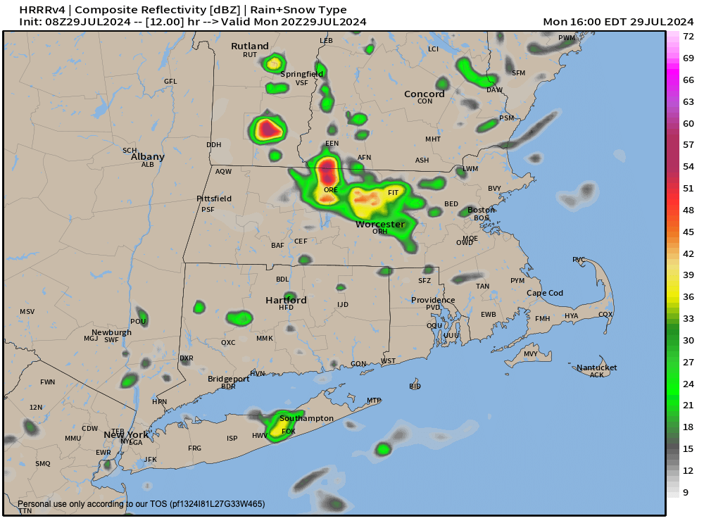
Periods of showers continue to “retrograde” from east to west today into parts of the greater WMass region, with especially heavier and steadier rains to the south of the Pike. A thunderstorm or two is possible today as well.
Patchy fog will lift as temps rise into the mid to upper 70s for highs under mostly cloudy skies.
As our storm slowly lifts north tonight and then northeast tomorrow, rain showers will become more isolated as they diminish in coverage with lows falling into the mid to upper 60s.
However, humidity will increase and be drawn northward into our region behind our departing low on Tuesday.
This will produce some patchy fog tomorrow morning, and highs will rise into the mid 80s with isolated showers or a thunderstorm possible. Lows will only dip to near 70º tomorrow night as another upper low tracks east from the Great Lakes and brings more energy into our region moving into Wednesday.
At this point, if there is any day that could be a washout for some, it would be Wednesday.
As this upper low swings through the region, it will act on high humidity and warm temps in the low 80s to produce showers, downpours and thunderstorms at times in our region.
Some folks get more, some get less, but at this point it looks like a wet day.
After that system pulls through Wednesday night (lows near 70º with scattered showers expected), we may get a drier period Thursday into the start of Friday with temperatures coming UP behind that mid-week system.
Highs could reach the mid 80s to low 90s on Thursday and Friday with very humid air moving into the region, so we can’t rule out an isolated shower or thunderstorm.
By the weekend, very warm temps in the 85-90º range should continue, and more energy moving into the region by later weekend could bring more shower and thunderstorm chances all weekend long.
I am back in the saddle and will update you all week long as the days pass by, and provide updates when I think they’ll be helpful.
Thanks for being the best audience ever, I appreciate so very much.
Have a great day!
“Follow your bliss and the universe will open doors for you where there were only walls.”
― Joseph Campbell