
[7:12AM THU 9/5/24] PATCHY FOG BURNS OFF REVEALING ANOTHER GORGEOUS DAY… MORE SUNSHINE TOMORROW FROM DEPARTING HIGH PRESSURE… EASTERLY THAN SOUTHERLY, MORE HUMID FLOW DEVELOPS INTO THE WEEKEND AS A COLD FRONT APPROACHES LATER SATURDAY… A PERIOD OF SHOWERY WEATHER DEVELOPS LATE SATURDAY OVERNIGHT INTO EARLY SUNDAY MORNING… SUNSHINE RETURNS THAT AFTERNOON, AND PERSISTS THROUGH MUCH OFO NEXT WEEK AS DRIER PATTERN PERSISTS IN THE REGION…
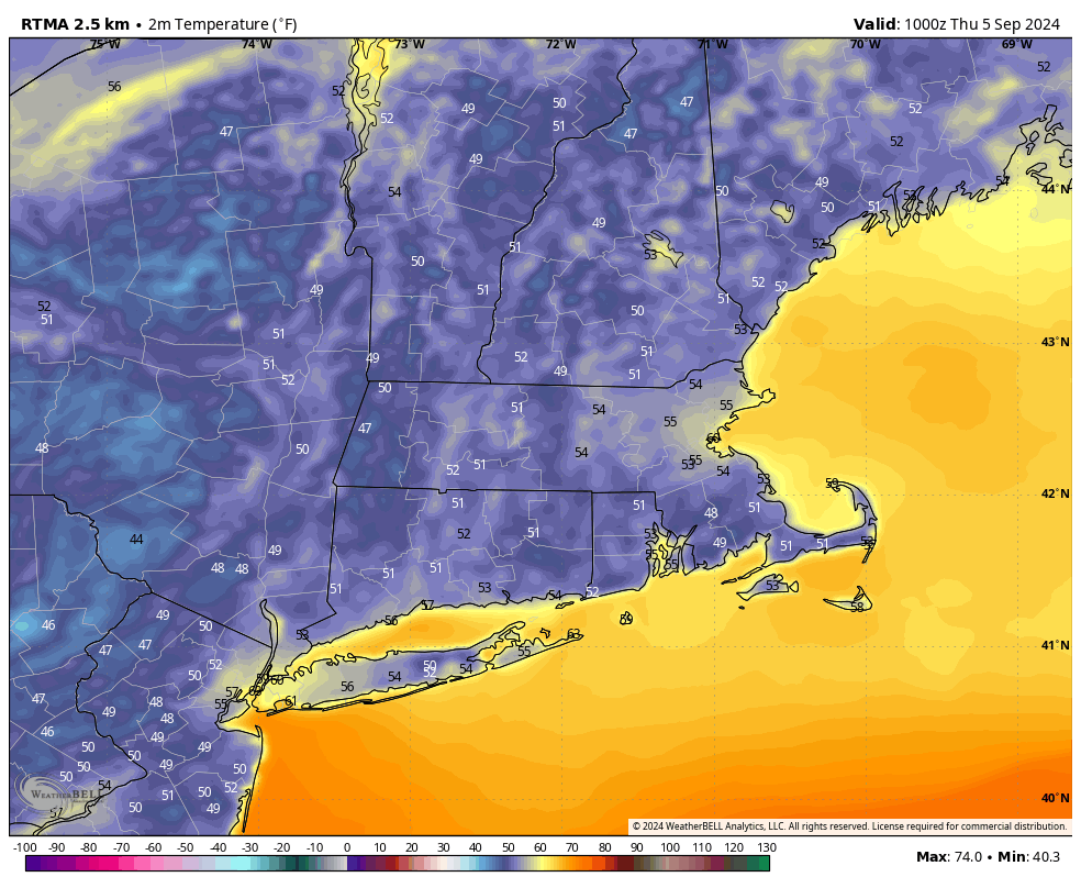
TABLE OF CONTENTS
* Daily Celestials (Sun/Moon Data)
* Sponsor Note
* DHTWN Announcements
* Morning Discussion
* TIP: Scroll below for sections, or read all
~~~~~~~~~~~~~~~~~~~~~~
YOUR DAILY CELESTIALS
~~~~~~~~~~~~~~~~~~~~~~
STAR:
–OUR STAR ROSE AT: 6:20am this morning
–OUR STAR WILL SET AT: 7:16pm this evening
–TOTAL DAYLIGHT TIME: 12 hours and 56 minutes
MOON:
–OUR MOON WILL RISE AT: 8:42am this morning
–MOON RISE DIRECTION: East
–OUR MOON WILL SET AT: 8:18pm this evening
–MOON SET DIRECTION: West
–MOON PHASE: Waxing Crescent (5.0%)
~~~~~~~~~~~~~~~~~~~~~~
A NOTE FROM OUR SPONSOR
~~~~~~~~~~~~~~~~~~~~~~
Dave Hayes The Weather Nut is Sponsored by Individual Community Members, Patrons, and Tandem Bagel Company… No matter the weather, Tandem Bagel is always there for you at several valley locations to make your mornings brighter! With *New Pizza Bagels(!)*, along with bagels baked fresh daily (including Gluten-Free options), house-whipped cream cheese, coffee, and tons of lunch options, Tandem is the perfect quick stop for lunch, breakfast, or a coffee and bagel to go.
You can either 1) visit them in Easthampton, Northampton, Hadley, Florence, and/or West Springfield, 2) hire them to cater your next event, or 3) use their super-streamlined online ordering tool by visiting their website and clicking the “Catering” or “Order Online” links.
~~~~~~~~~~~~~~~~~~~~~~
DHTWN ANNOUNCEMENTS
~~~~~~~~~~~~~~~~~~~~~~
~ Subscribe to Dave’s Weekly Newsletter
(Get the free 70-page ebook: Top 12 WMass Storms!)
~ Look for Dave’s New Mobile App
(Late 2024 Release)
~ DHTWN’S Final 10th Anniversary
Weather Wall Calendar
(Sale launches toward end of September)
~~~~~~~~~~~~~~~~~~~~~~
YOUR MORNING DISCUSSION
~~~~~~~~~~~~~~~~~~~~~~
Good morning denizens of our lovely hills and dales of this greater WMass region nestled sweetly into southwestern New England, I wish for you good things today and every day.
Despite some patchy fog banks around the region (with some particularly thicker ones noted in the Berkshires and south into the Litchfield Hills of northwest CT), we can expect resplendent sunshine to once again rule our skies today.
Highs will reach the mid to upper 70s, and we could see a few 80º readings in the Pioneer Valley for sure.
Departing high pressure to the east of New England will still maintain some influence through tonight and tomorrow with lows tonight dipping to either side of 50º, and highs climbing tomorrow into the 70s once again, after some morning patchy fog and potentially a bit of drizzle in spots more east of the valley.
Clouds will build Friday night, as will humidity with lows dropping to the mid to upper 50s.
An ocean storm will pass east of New England, with a cold front being swung our way off of an upper level Great Lakes system.
Between the two systems, we’ll see some sinking air, or “subsidence” here in the greater WMass region for Saturday which will produce dry conditions through at least mid afternoon or so, I believe.
Highs will reach the low to mid 70s, and we may even see some partly sunny skies early before we turn mostly cloudy as the cold front approaches from the west.
By mid to late afternoon, our first showers may start pushing into the region. At this point, my thinking is that anywhere from 4-8pm in the Berkshires is when showers could start, and I will try to pin that down more as we get closer, but the bottom line is that the evening and night looks showery, with showers tapering off by early Sunday morning as the front swings through.
Lows Saturday night will bottom out in the 50s, and after a brief surge in humidity, drier air will work into the region on Sunday.
In fact, I think we see sunshine by Sunday afternoon, with highs only climbing into the mid 60s to low 70s as cooler air filters in behind the front, with lows in the mid 40s under clear skies.
Next week?
More high pressure builds in behind the front, and another spate of lovely, mostly sunny, fair weather days revisits the region with highs mostly in the 70s and lows in the 40s and 50s with lowered humidity.
Peace in the valley. Have a great day!
“Follow your bliss and the universe will open doors for you where there were only walls.”
― Joseph Campbell