
TABLE OF CONTENTS
* Daily Celestials (Sun/Moon Data)
* Sponsor Note
* DHTWN Announcements
* Morning Discussion
* TIP: Scroll below for sections, or read all
~~~~~~~~~~~~~~~~~~~~~~
YOUR DAILY CELESTIALS
~~~~~~~~~~~~~~~~~~~~~~
STAR:
–OUR STAR ROSE AT: 6:34am this morning
–OUR STAR WILL SET AT: 6:53pm this evening
–TOTAL DAYLIGHT TIME: 12 hours and 19 minutes
MOON:
–OUR MOON WILL RISE AT: 7:16pm this evening
–MOON RISE DIRECTION: East-Southeast
–OUR MOON WILL SET AT: 8:22am tomorrow morning
–MOON SET DIRECTION: West
–MOON PHASE: Waning Gibbous (99.8%)
~~~~~~~~~~~~~~~~~~~~~~
A NOTE FROM OUR SPONSOR
~~~~~~~~~~~~~~~~~~~~~~
Dave Hayes The Weather Nut is Sponsored by Individual Community Members, Patrons, and Tandem Bagel Company… No matter the weather, Tandem Bagel is always there for you at several valley locations to make your mornings brighter! With *New Pizza Bagels(!)*, along with bagels baked fresh daily (including Gluten-Free options), house-whipped cream cheese, coffee, and tons of lunch options, Tandem is the perfect quick stop for lunch, breakfast, or a coffee and bagel to go.
You can either 1) visit them in Easthampton, Northampton, Hadley, Florence, and/or West Springfield, 2) hire them to cater your next event, or 3) use their super-streamlined online ordering tool by visiting their website and clicking the “Catering” or “Order Online” links.
~~~~~~~~~~~~~~~~~~~~~~
DHTWN ANNOUNCEMENTS
~~~~~~~~~~~~~~~~~~~~~~
~ Subscribe to Dave’s Weekly Newsletter
(Get the free 70-page ebook: Top 15 WMass Storms!)
~ Look for Dave’s New Mobile Weather App
(Late 2024 Release)
~ DHTWN’S Final 10th Anniversary
Weather Wall Calendar
(Sale launches toward October 1)
~~~~~~~~~~~~~~~~~~~~~~
YOUR MORNING DISCUSSION
~~~~~~~~~~~~~~~~~~~~~~
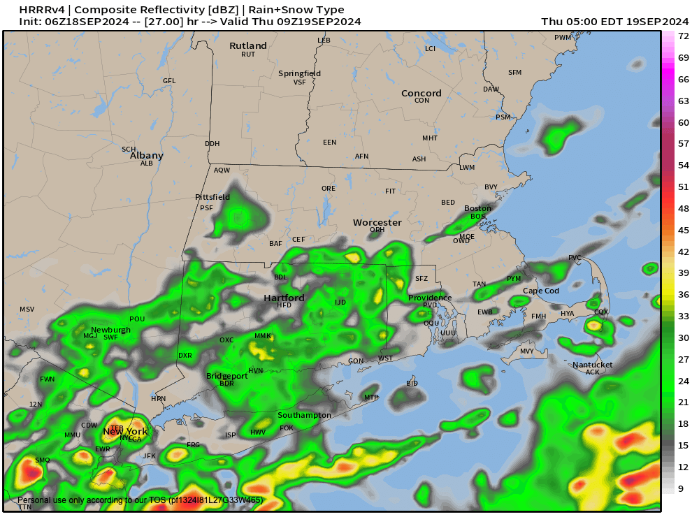
Good morning everybody, our patchy fog will burn off by mid morning or so for most of us.
While our storm continues to *slowly* track north and northeast, the fact remains that surface high pressure continues to sit right on top of us this Wednesday morning, which is a drying air mass.
We’ll enjoy one last warm day with highs either side of 80º under mostly cloudy skies with a bit of humidity but it should be mostly tolerable. Some sunshine is expected at times.
Lows will drop to either side of 60º as humidity increases for eastern areas along and east of the I-91 corridor later tonight and for Thursday and Friday (dewpoints will rise up to the mid 60s, so not terrible).
The expected humidity increase is due to our storm coming north toward The Benchmark, but its progress is expected to slow down as it gains latitude.
At this point, it will begin to meander a bit more zonally (from west to east, or maybe vice versa for a time), so there is uncertainty in terms of whether more substantial rainfall can make it up to the Pike and further north in CMass.
I do think under any scenario for Thursday and Friday that WMass, SWNH and SVT should see very little rain from this system, but it does bear watching.
High pressure should keep most of the rain suppressed over southeast CT, RI and southeast MA.
Highs tomorrow will sit in the 70s with lows near 60º with a few showers north of the Pike possible, and more scattered showers or a few periods of light rain south of there in far southern MA and northern CT.
By Friday, depending where our system meandered to, mostly cloudy skies are certainly expected, and additional showers south of the Pike, but generally light at this time. Highs will reach the mid 70s with lows in the mid 50s as the low pulls southeast and away from New England.
The weekend looks partly sunny to start and mostly sunny to finish, with cooler highs either side of 70º and lows either side of 50º.
These types of conditions should persist into early next week, so more fair weather is on the way and not much rainfall.
Have a great day!
“Follow your bliss and the universe will open doors for you where there were only walls.”
― Joseph Campbell