
TABLE OF CONTENTS
* Daily Celestials (Sun/Moon Data)
* Sponsor Note
* DHTWN Announcements
* Morning Discussion
* TIP: Scroll below for sections, or read all
~~~~~~~~~~~~~~~~~~~~~~
YOUR DAILY CELESTIALS
~~~~~~~~~~~~~~~~~~~~~~
STAR:
–OUR STAR ROSE AT: 6:33am this morning
–OUR STAR WILL SET AT: 6:55pm this evening
–TOTAL DAYLIGHT TIME: 12 hours and 22 minutes
MOON:
–OUR MOON WILL RISE AT: 6:52pm this evening
–MOON RISE DIRECTION: East
–OUR MOON WILL SET AT: 7:02am tomorrow morning
–MOON SET DIRECTION: West
–MOON PHASE: Full Harvest Supermoon (99.3%)
***Partial Lunar Eclipse maxes out at 10:44pm***
~~~~~~~~~~~~~~~~~~~~~~
A NOTE FROM OUR SPONSOR
~~~~~~~~~~~~~~~~~~~~~~
Dave Hayes The Weather Nut is Sponsored by Individual Community Members, Patrons, and Tandem Bagel Company… No matter the weather, Tandem Bagel is always there for you at several valley locations to make your mornings brighter! With *New Pizza Bagels(!)*, along with bagels baked fresh daily (including Gluten-Free options), house-whipped cream cheese, coffee, and tons of lunch options, Tandem is the perfect quick stop for lunch, breakfast, or a coffee and bagel to go.
You can either 1) visit them in Easthampton, Northampton, Hadley, Florence, and/or West Springfield, 2) hire them to cater your next event, or 3) use their super-streamlined online ordering tool by visiting their website and clicking the “Catering” or “Order Online” links.
~~~~~~~~~~~~~~~~~~~~~~
DHTWN ANNOUNCEMENTS
~~~~~~~~~~~~~~~~~~~~~~
~ Subscribe to Dave’s Weekly Newsletter
(Get the free 70-page ebook: Top 15 WMass Storms!)
~ Look for Dave’s New Mobile Weather App
(Late 2024 Release)
~ DHTWN’S Final 10th Anniversary
Weather Wall Calendar
(Sale launches toward October 1)
~~~~~~~~~~~~~~~~~~~~~~
YOUR MORNING DISCUSSION
~~~~~~~~~~~~~~~~~~~~~~
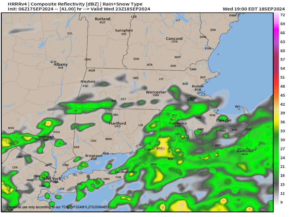
Good morning everybody, we’re starting off with patchy fog with some sub-1 mile visibilities so take it easy if you’re one of those spots and about to head out.
Fog will burn off by mid morning and we’ll be left with partly sunny skies with some clouds starting to filter north from a storm system meandering around the Carolinas looking for that country road James Taylor sang about so many decades ago.
Once we get to the peak of the day, we’ll see temps come up into the mid 70s to low 80s for highs, and sink back down into the mid 50s for lows, as we continue to have drier air in place despite our coastal storm’s feeble attempt to push moisture into this drier air mass that was produced by departing high pressure to our east.
It is that high pressure’s continued eastward jaunt that will make way for our storm to come more north Wednesday into early Friday.
However, another area of reinforcing high pressure from eastern Canada will drop south and shunt that puppy mostly out to sea after allowing a few showers to briefly (and likely barely) wet some of our lawns, especially south of the Pike in MA and CT during that Wednesday night through Thursday night timeframe.
Mostly, we’ll see mostly cloudy skies Wednesday through Friday with some partial sun possible Wednesday morning and again Friday afternoon.
Highs Wednesday crest near the upper 70s, with lows in the upper 50s.
Highs Thursday crest near the mid 70s, with lows in the upper 50s.
Highs Friday crest near the low to mid 70s, with lows in the mid 50s.
By the weekend, that storm is pulling away south and east never really getting to sink its wet teeth into the greater WMass region, so watering operations continue within the context of any municipal restrictions that may or may not be in place.
We’ll see sunshine return with drier and cooler Canadian flow which will tamp high temps down into the mid 60s to low 70s through Monday, with lows firmly in the 40s.
by late next week we could see a pattern shift with a possible storm by next Thursday or Friday bringing some needed rainfall. After that, I will be watching a tropical system pushing north into the Deep South, while another low steams east across Alberta, Saskatchewan and Manitoba, the cold front from which may drag that tropical system northeast and sweep its rains into New England.
A LOT would have to happen to make that transpire, and it likely won’t in that simplistic way I presented, but it certainly bears watching, and watch I will.
Have a great day!
“Follow your bliss and the universe will open doors for you where there were only walls.”
― Joseph Campbell