
TABLE OF CONTENTS
* Daily Celestials (Sun/Moon Data)
* Sponsor Section
* Morning Discussion
* TIP: Scroll to your section, or read all
~~~~~~~~~~~~~~~~~~~~~~
YOUR DAILY CELESTIALS
~~~~~~~~~~~~~~~~~~~~~~
STAR:
–OUR STAR ROSE AT: 6:30am this morning
–OUR STAR WILL SET AT: 6:58pm this evening
–TOTAL DAYLIGHT TIME: 12 hours and 28 minutes
MOON:
–OUR MOON WILL RISE AT: 6:01pm this afternoon
–MOON RISE DIRECTION: East-Southeast
–OUR MOON WILL SET AT: 4:21am tomorrow morning
–MOON SET DIRECTION: West-Southwest
–MOON PHASE: Waxing Gibbous (90.3%)
~~~~~~~~~~~~~~~~~~~~~~
>>> A NOTE FROM OUR WEEKEND SPONSOR <<<
Dave Hayes The Weather Nut is Sponsored by Individual Community Members, Patrons, and Gerard, Ghazey & Bates, P.C. GGBPC is a Northampton-based law firm regarded as the voice of pragmatic and well-reasoned estate planning, elder law and tax guidance in Western Massachusetts. The firm specializes in estate planning law, and expertly handles other matters such as Elder Law, Tax Law, as well as Real Estate purchase, sales, and refinance transactions. Contact GGBPC today to see how they can help!
~~~~~~~~~~~~~~~~~~~~~~
YOUR MORNING DISCUSSION
~~~~~~~~~~~~~~~~~~~~~~
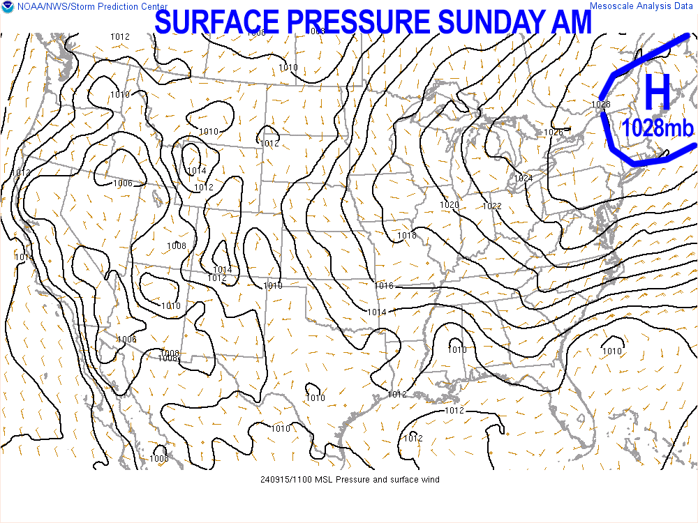
Good morning everybody, it’s more rinse and repeat weather for us over the next few days with an absolute dearth of rainfall, and an abundance of sunshine, albeit accompanied by a bit of haze due to lofted western wildfire smoke.
It will continue to be warm through mid week with highs in the mid 70s to low 80s today, tomorrow and Tuesday, and lows in the 50s, except a few upper 40s tonight in the high terrain.
Patchy fog burns off this morning, and fog should be even more isolated tomorrow morning.
Skies will be mostly clear tonight, partly cloudy Monday night and mostly cloudy Tuesday night as moisture streams north ahead of a developing Carolinian coastal storm system.
By Tuesday night into Wednesday, we’ll still have a strong upper ridge acting as a block in much of New England, preventing that storm from running right through New England.
Still, it should make *some* northward progress, and send a few areas of light to moderate showers into areas along and south of the Pike and MA, CT and RI, before the storm is shunted east and away sometime on Thursday.
So, showers could arrive as early as Tuesday night, but not likely until sometime on Wednesday into Wednesday night, abating during the first half of Thursday.
Highs will only be in the 70s on Wednesday and Thursday, and by late week into the weekend, we could see highs in the mid 60s to low 70s as drying northwest flow works in behind our departing coastal system.
More sunshine is expected Friday through Sunday, as fair weather continues to counterbalance the severe weather chaos we had over the Summer of 2024.
Have a great day!
HAIKU OF THE DAY:
Yellow-white orb day
A precedence to Moon Day
High pressure clears skies
“Follow your bliss and the universe will open doors for you where there were only walls.”
― Joseph Campbell