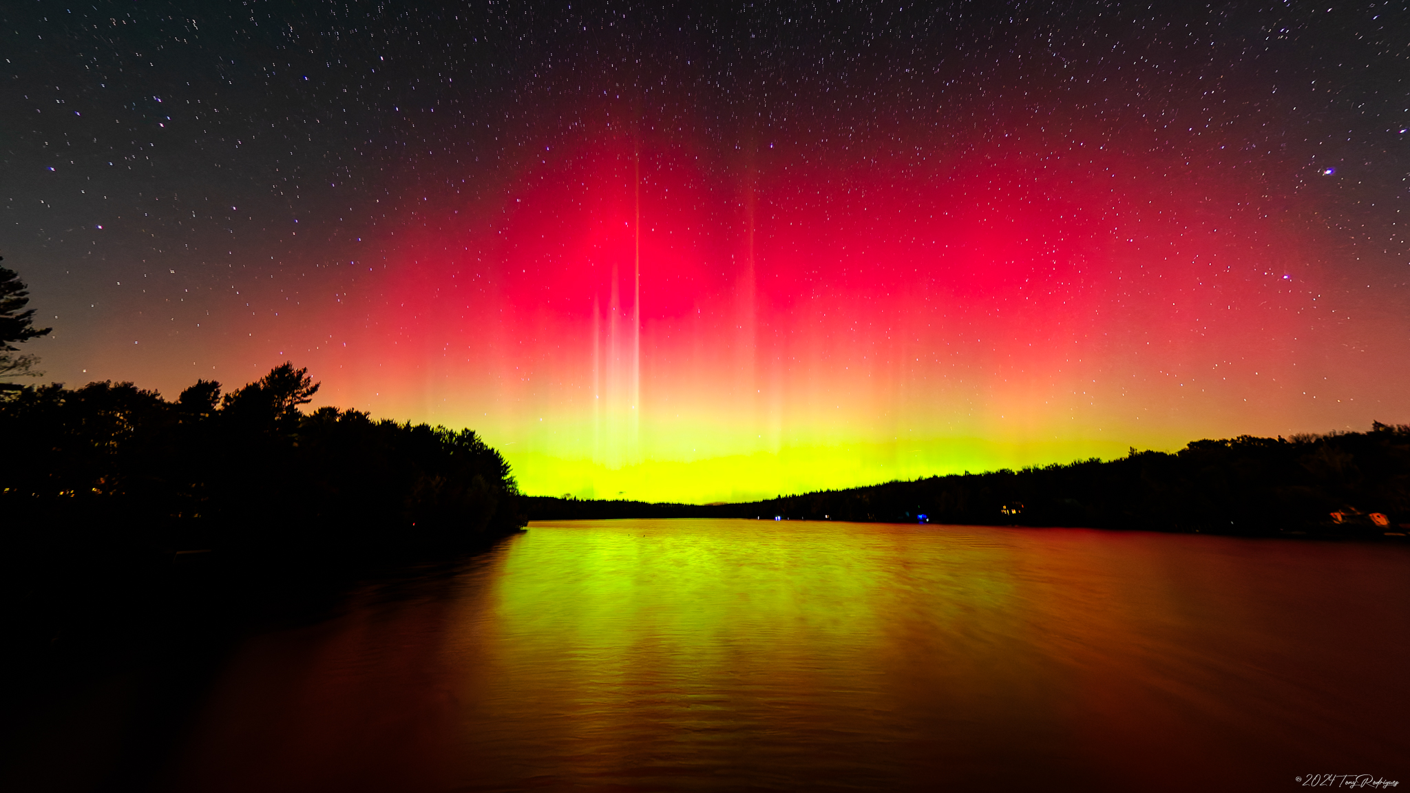
[7:12AM TUE 10/8/24] EASTHAMPTON MICROBURST DECADE-AVERSARY IS TODAY… ANY STORIES YOU HAVE TO SHARE WOULD BE WELCOME… ANY AURORA PICS WOULD ALSO BE WELCOME… FAIR WEATHER EXPECTED THROUGH SUNDAY WITH PARTLY TO MOSTLY SUNNY SKIES THROUGHOUT… TEMPS ARE COOLER THIS WEEK, AND BEST CHANCE OF FROST IS EARLY FRIDAY MORNING… WEAK COLD FRONT BRINGS A FEW ISOLATED SHOWERS WEDNESDAY AFTERNOON WITH WIND GUSTS PICKING UP A BIT ON THURSDAY… NEXT RAIN CHANCE IS SUNDAY NIGHT INTO MONDAY… DAVE’S 2025 WEATHER CALENDAR IS ON SALE NOW…

Dave’s 2025 Weather Wall Calendar packs a lot of goodies into one piece:
~ Colorful Local Photos & Educational Content
~ WMass Community-Oriented & Contemplative
~ Affordable, Useful, & Practical
~ Great for holiday gifts (order info below)
2025 DHTWN Weather Wall Calendar
(Securely Order via Cards, Venmo, PayPal, or Check)
~~~~~~~~~~~~~~~~~~~~~~
TABLE OF CONTENTS
* Daily Celestials (Sun/Moon Data)
* Sponsor Note
* DHTWN Announcements
* Morning Discussion
* TIP: Scroll below for sections, or read all
~~~~~~~~~~~~~~~~~~~~~~
YOUR DAILY CELESTIALS
~~~~~~~~~~~~~~~~~~~~~~
STAR:
–OUR STAR ROSE AT: 6:55am this morning
–OUR STAR WILL SET AT: 6:19pm this evening
–TOTAL DAYLIGHT TIME: 11 hours and 24 minutes
MOON:
–OUR MOON WILL RISE AT: 12:56pm this morning
–MOON RISE DIRECTION: Southeast
–OUR MOON WILL SET AT: 9:19pm this evening
–MOON SET DIRECTION: Southwest
–MOON PHASE: Waxing Crescent (27.0%)
~~~~~~~~~~~~~~~~~~~~~~
A NOTE FROM OUR SPONSOR
~~~~~~~~~~~~~~~~~~~~~~
Dave Hayes The Weather Nut is Sponsored by Individual Community Members, Patrons, and Tandem Bagel Company… No matter the weather, Tandem Bagel is always there for you at several valley locations to make your mornings brighter! With *New Pizza Bagels(!)*, along with bagels baked fresh daily (including Gluten-Free options), house-whipped cream cheese, coffee, and tons of lunch options, Tandem is the perfect quick stop for lunch, breakfast, or a coffee and bagel to go.
You can either 1) visit them in Easthampton, Northampton, Hadley, Florence, and/or West Springfield, 2) hire them to cater your next event, or 3) use their super-streamlined online ordering tool by visiting their website and clicking the “Catering” or “Order Online” links.
~~~~~~~~~~~~~~~~~~~~~~
DHTWN ANNOUNCEMENTS
~~~~~~~~~~~~~~~~~~~~~~
~ 2025 DHTWN Weather Wall Calendar
(Securely Order via Cards, Venmo, PayPal, or Check)
~ News on Dave’s Upcoming Mobile Weather App
(Late 2024 Release)
~ Subscribe to Dave’s Weekly Newsletter
(Get the free 70-page ebook: Top 15 WMass Storms!)
~~~~~~~~~~~~~~~~~~~~~~
YOUR MORNING DISCUSSION
~~~~~~~~~~~~~~~~~~~~~~
Good morning folks, we have surface high pressure moving in from the west while an old upper trough swings into northern New England along with a few weak shortwaves rotating around it and through the northeast U.S. over the next couple of days.
The result of those shortwaves will be some fair weather clouds at times this afternoon, and then by tomorrow and tomorrow night a few isolated showers will be possible Wednesday afternoon preceding a cold front that comes through at night with more clouds, and a reinforcing shot of cooler air that could bring some NW wind gusts to 25mph Thursday and a first frost to some of us late Thursday night.
Aside from that (and backing up), it’s fair weather for days once again as our dry pattern continues until our next rain chance, which is Sunday night into Monday, best I can tell.
For today, highs will reach the upper 50s to mid 60s under mostly sunny skies with some early patchy fog that will burn off pretty quickly. Some afternoon fair weather clouds are expected as cooler air moves in aloft. Lows will drop to either side of 40º.
For Wednesday, a shortwave will move through the region by afternoon with highs in the mid 50s to low 60s, and a few isolated showers possible later in the afternoon and evening when more of a partly sunny/cloudy sky will develop. Lows will drop to the mid 30s to low 40s as a weak cold front moves through our region.
For Thursday, a breezier, mostly sunny day is expected behind the front, with cooler highs only in the 50s for just about everybody.
At night, we should see clear skies and that will help maximize radiational cooling and drop temps well into the 30s for the first frost for some folks, even though I know some recently had frost.
High pressure scoots east underneath (i.e. to the south of) New England on Friday, and that will warm temps up a touch into the upper 50s to mid 60s with sunny skies, followed by lows in the 40s.
Saturday is the pick of the stretch with highs in the 65-70º range under mostly sunny skies, with highs in the low to mid 60s on Sunday, which will also be a Sun Day.
By Sunday night into Monday our next chance of rainfall will be nearby, and a giant, cooler high pressure system will be positioned to its west over the central U.S., which will help drive renewed, cooler northwest flow into the region next week.
Have a great day, and remember this: my intention is that my 2025 Weather Calendar will contribute to your life a sense of connection to place, to community, and to provide a zone of daily refuge. Plus, it can serve as a fun holiday gift for others, you can order below. Thank you.
2025 DHTWN Weather Wall Calendar
(Securely Order via Cards, Venmo, PayPal, or Check)
“Follow your bliss and the universe will open doors for you where there were only walls.”
― Joseph Campbell
