
TABLE OF CONTENTS
* Daily Celestials (Sun/Moon Data)
* Sponsor Note
* Join My Newsletter
(& get my Top12WMassStorms ebook!)
* Morning Discussion
* TIP: Scroll below for sections, or read all
~~~~~~~~~~~~~~~~~~~~~~
YOUR DAILY CELESTIALS
~~~~~~~~~~~~~~~~~~~~~~
STAR:
–OUR STAR ROSE AT: 5:48am this morning
–OUR STAR WILL SET AT: 8:03pm this evening
–TOTAL DAYLIGHT TIME: 14 hours and 15 minutes
MOON:
–OUR MOON WILL SET AT: 9:00pm tonight
–MOON SET DIRECTION: West-Northwest
–OUR MOON WILL RISE AT: 7:47am tomorrow morning
–MOON RISE DIRECTION: East-Northeast
–MOON PHASE: Waxing Crescent (1.0%)
~~~~~~~~~~~~~~~~~~~~~~
A NOTE FROM OUR SPONSOR
~~~~~~~~~~~~~~~~~~~~~~
Dave Hayes The Weather Nut is Sponsored by Individual Community Members, Patrons, and Tandem Bagel Company… No matter the weather, Tandem Bagel is always there for you at several valley locations to make your mornings brighter! With *New Pizza Bagels(!)*, along with bagels baked fresh daily (including Gluten-Free options), house-whipped cream cheese, coffee, and tons of lunch options, Tandem is the perfect quick stop for lunch, breakfast, or a coffee and bagel to go.
You can either 1) visit them in Easthampton, Northampton, Hadley, Florence, and/or West Springfield, 2) hire them to cater your next event, or 3) use their super-streamlined online ordering tool by visiting their website and clicking the “Catering” or “Order Online” links.
~~~~~~~~~~~~~~~~~~~~~~
DAVE’S WEEKLY NEWSLETTER (Top 12 WMass Storms)
DAVE’S MOBILE APP (Late 2024 Release)
~~~~~~~~~~~~~~~~~~~~~~
YOUR MORNING DISCUSSION
~~~~~~~~~~~~~~~~~~~~~~
Good morning everybody, no rest for the weary as another very busy weather week is on tap with multiple rain and storm chances, along with the potential for a southern New England impact of Hurricane Debby’s rainy remnants sometime in the Friday through Saturday night timeframe, as Debby will likely pass by Cape Cod and head out to sea before dawn on Sunday morning.
I’m taking my own advice this morning by raising my ‘brows and putting on a slight smile, so let’s dive into meteorological minutes of the coming week, delivered in a resplendently beautiful, elegantly displayed list of double dashes for your viewing and skimming pleasure!
SUMMAH-RY
–Patchy fog will be burning off a little later this morning, though it has been dense in some spots
–A hot and very humid day is on the way with partly to mostly sunny skies
–Highs will reach the mid 80s to low 90s for one more day, and it will be quite humid with dewpoints in the 70s
–Thankfully, and even mercifully at this point, a cold front will be slowly tracking southeast through our region overnight
–As we move into the afternoon, however, our surface atmosphere will be destabilized
–We’ll have high humidity, unstable air, decent wind shear moving, but the forcing from the cold front will still be quite north
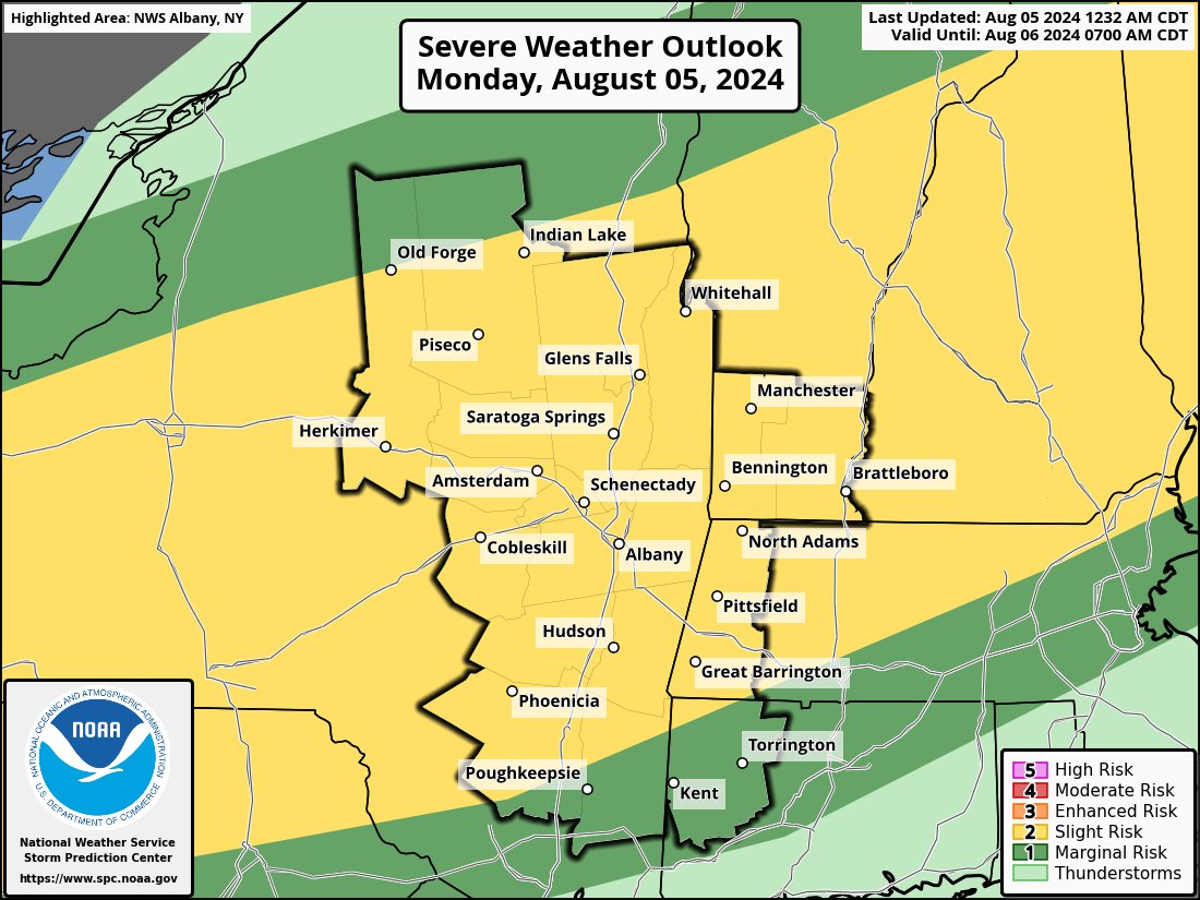
–Still some isolated or widely scattered showers, downpours and thunderstorms should form, especially north of the Pike
–A storm could become strong to severe with wind and hail potential
–This activity will be possible tonight, and may be prolonged given the cold front will be moving in and providing lift/forcing to keep activity going
–Lows will drip to the 60s and it will still be humid
–Humidity starts to decrease tomorrow a bit, but won’t be most noticeable until Wednesday afternoon and Thursday
–Temps will DEFINITELY dip starting tomorrow, with highs in the mid to upper 70s through the rest of the week, with lows in the 55-60º range
–While we could see a few showers on Tuesday, it should be partly sunny and mostly dry
–However, at night into early Wednesday morning is when our cold front (which will be stalled to our south) will serve as a guideline for an incoming Great Lakes disturbance
–This has the potential to produce a bout of heavy rainfall and downpours in the greater WMass region Tuesday night into the first part of Wednesday
–Flooding would be possible, certainly on streets at least
–After that system tracks east through the region, we dry out Wednesday afternoon through Thursday night, the way it looks now
–Sunshine should develop by Wednesday afternoon and Thursday looks sunny at the moment
–By Friday, we are going to see Debby’s remnants (probably a tropical depression at that point) moving up into the Mid-Atlantic region
–Ultimately, Debby gets swept east and out to sea at it reaches a stronger zonal west to east flow across New England
–Much uncertainty remains for potential of rain to develop ahead of Debby Friday, and then the actual impact from Debby Saturday and Saturday night
–Certainly, folks in CT, RI and southeast MA including the Cape and Islands could see some flooding rains, with windy conditions relegated to the Cape
–Sunday looks like a better day with partial sunshine, a few showers, and highs in the 75-80º range
Have a great day!
“Follow your bliss and the universe will open doors for you where there were only walls.”
― Joseph Campbell