
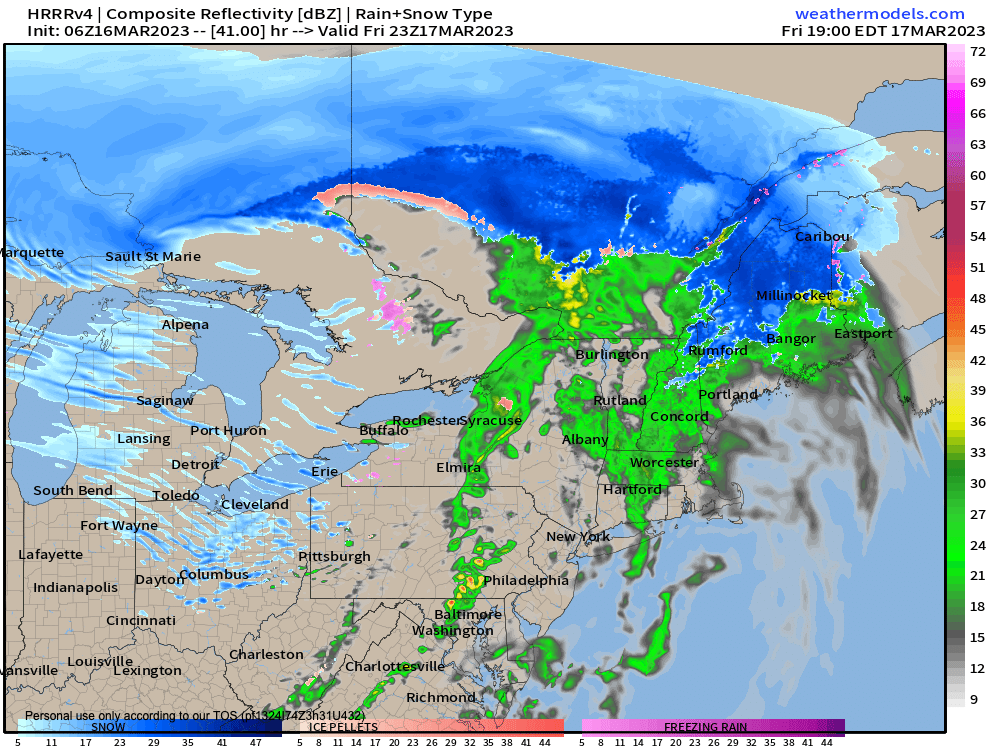
Friday evening showers
–> My Annual Support Goal = 4% of readers (1 in 25) donating any amount
–> 2023 Goal Progress = 53% have contributed to date
–> 2023 Member Drive ends 3/26
–> I’m still well short of my 4% reader goal
–> Any member or support level is appreciated
–> SecureSupportCLICK
———————-
Good morning everybody, folks in northern MA, the western hilltowns, Berkshires, and up into SVT and SWNH are still cleaning up, and dealing with now-extended power outages due to our historic, late-season, elevation-dependent nor’easter that dropped 1 to 4 feet of snow (Mt. Snow hit 4 feet) across many parts of the region I cover, along with 3-12″ up and down the valley.
We still have 2500 outages in the WMass / CMass region, 10000 outages in southern VT, and 8000 outages in southwest NH, so at this point, it’s rough go for those folks, and I’m thinking about you and hoping that many of these outages get restored today. Obviously crews are working hard to get you back on the grid.
During a super dark and low time in my life about 18 years ago a disembodied voice came across my phone and told me “heavy weather passes eventually, Dave”, and while it can last a while, I’ve found that to be true most of the time.
So hang in there best you can, and know that a moment is going to come when you’re back in the swing, and this deep snow pack will melt, and the weather coming up as far as I can see is going to facilitate The Meltening.
Before we continue with our upcoming weather details, let’s check a note from our Local Sponsor
~~~~~~~~~~~~~~~~~~~~~~~~~~~~~~~~
Dave Hayes The Weather Nut is Sponsored by Individual Community Members, Patrons & Tandem Bagel Company… No matter the weather, Tandem Bagel is always there for you at several valley locations to make your mornings brighter! With bagels baked fresh daily (including Gluten-Free options), house-whipped cream cheese, coffee, and tons of lunch options, Tandem is the perfect quick stop for lunch, breakfast, or a coffee and bagel to go. Find them in Easthampton, Northampton, Hadley, Florence, and West Springfield, or use their super-streamlined online ordering tool by visiting their website.
~~~~~~~~~~~~~~~~~~~~~~~~~~~~~~~~
Moving forward, we’ve got a huge area of high pressure pressing into the east coast, the center/axis of which will pass to our south through tomorrow.
This will help continue to decrease our wind, though westerly gusts could get up to 15-20mph today under partly sunny skies.
High temps will rise well into the 40s, though may hang in the upper 30s in SVT, SWNH, and far northern MA where snowpack is deep.
Lows tonight will dip down into the mid 20s to low 30s under partly cloudy skies as winds become light, so watch out for black ice patches again by morning.
Friday will be a cloudier day as a warm front extends into the region from a system that will pass to our north Friday night and Saturday.
It will also be seasonably mild again with highs in the mid to upper 40s, and we can expect some scattered generally light showers Friday late afternoon into the evening. Lows will drop into the low to mid 30s.
On Saturday, a cold front will be approaching the region, but we should get temps up into the upper 30s to mid 40s before its passage, which should be mostly dry.
———————-
BECOME A 2023 MEMBER / SUPPORTER BELOW(Options include Cards, PayPal, Venmo, or Check)
———————-
Expect a partly sunny day with temps dropping in the afternoon, and wind picking up Saturday night into Sunday, gusting up to 30mph at times behind the front.
A few high terrain snow showers are possible Saturday night into Sunday as well as cold air advects into the region.
It’ll be much colder on Sunday with highs only in the upper 20s to low 30s with breezy conditions, and lows either side of 20º, so a cold and blustery 24 hours is expected Sunday and Sunday night!
Thereafter, we should see more ridging building into the east coast and northeast U.S. early to mid week with rebounding temps into the low to mid 40s Monday, and mid 40s to low 50s for Tuesday and Wednesday!
The Meltening will resume in earnest.
We have a shot at more wet weather by late next week, and while there’s a low chance it could start as snow, aside from Sunday’s cold blip, I’m not seeing any resumption of a winter pattern like we experienced from very late February into mid-March.
Have a great day, and if you rely on my work here, I need your support. Please contribute to my annual support drive before 3/26 so I can continue this daily local weather reporting service throughout 2023, thank you.
———————-
BECOME A 2023 MEMBER / SUPPORTER BELOW(Options include Cards, PayPal, Venmo, or Check)