
Accumulating Snow Sunday/Monday Possible
TABLE OF CONTENTS
* Daily Celestials (Sun/Moon Data)
* Weekly Weather Nutshell
* Morning Discussion
* TIP: Scroll below for sections, or read all
~~~~~~~~~~~~~~~~~~~~~~
YOUR DAILY CELESTIALS
~~~~~~~~~~~~~~~~~~~~~~
STAR:
–OUR STAR ROSE AT: 7:10am this morning
–OUR STAR WILL SET AT: 4:54pm this evening
–TOTAL DAYLIGHT TIME: 9 hours and 44 minutes
MOON:
–OUR MOON WILL RISE AT: 3:40pm this afternoon
–MOON RISE DIRECTION: Northeast
–OUR MOON WILL SET AT: 7:32am tomorrow morning
–MOON SET DIRECTION: Northwest
–MOON PHASE: Waxing Gibbous (98.4%)
~~~~~~~~~~~~~~~~~~~~~~
A NOTE FROM OUR SPONSOR
~~~~~~~~~~~~~~~~~~~~~~
Dave Hayes The Weather Nut is Sponsored by Individual Community Members, Patrons, and Tandem Bagel Company… No matter the weather, Tandem Bagel is always there for you at several valley locations to make your mornings brighter! With bagels baked fresh daily (including Gluten-Free options), house-whipped cream cheese, coffee, and tons of lunch options, Tandem is the perfect quick stop for lunch, breakfast, or a coffee and bagel to go. Find them in Easthampton, Northampton, Hadley, Florence, and West Springfield, or use their super-streamlined online ordering tool by visiting their website.
~~~~~~~~~~~~~~~~~~~~~~
YOUR WEEKLY WEATHER NUTSHELL
~~~~~~~~~~~~~~~~~~~~~~
–Winter Weather Advisories continue through 1pm
–Approximately 1-3″ of snow fell over night, and now mild air is working in aloft
–We have changed to freezing rain showers which are scattered about the region
–Occasional showers of freezing, or freezing drizzle will persist this morning into the early afternoon
–By that time temps warm up enough to turn to plain rain, with perhaps some lingering freezing rain showers/drizzle in the far northwest MA highlands and mountains of SVT/SWNH
–Highs today reach the mid 30s, and then hang there overnight
–For tonight, another wave moves through with a steadier period of rainfall into Thursday morning
–Scattered rain showers persist through Thursday, but mostly south of the Pike where the front sags south and stalls for a bit
–Highs will then climb into the 40s from Thursday through Saturday
–A final shortwave moves through Thursday night into Friday with yet another wave of rainfall, and between tonight’s rain and tomorrow night’s rain, an additional 1-2″ or so is expected
–There could be some minor flood issues, or street flooding, though that may be more relegated to southeastern New England
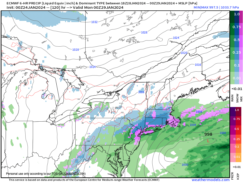
–Saturday looks dry and mostly cloudy, but cold air is set to move back into the region by early next week, pulled in by a southern stream storm system that will track near or just south of New England Sunday
–This could bring snow, ice and rain to the region, changing to all snow, with plowable accumulations possible, so stay tuned for updates!
~~~~~~~~~~~~~~~~~~~~~~
YOUR MORNING DISCUSSION
~~~~~~~~~~~~~~~~~~~~~~
Good morning everybody, if you like snow we got a light blanket overnight of 1-3″ based on most measurements, but please let me know how much you got!
The milder air has moved in aloft and the steadiest precip has passed east of us, but scattered showers of freezing rain, along with freezing drizzle has moved in.
Winter Weather Advisories will continue through 1pm for this icing threat.
I will update later today, but for now the Nutshell above handles the rest of the upcoming 7 days, which could culminate with accumulating snow Sunday into Monday, and colder air moving back into the region with highs in the 25-30º range by early next week.
Have a great day, and be careful out there this morning!
Stay tuned and have a great day!
>>> BE KIND <<<
“Hello babies. Welcome to Earth. It’s hot in the summer and cold in the winter. It’s round and wet and crowded. On the outside, babies, you’ve got a hundred years here. There’s only one rule that I know of, babies: Goddamn it, you’ve got to be kind.”
–Kurt Vonnegut