
Good morning everybody, and Happy New Year! I hope you had a great evening last night, whether you went out and partied or just hung at home and had a quiet night.
I also hope that 2024 is going to be a great year for you in every which way possible!
As for our weather, I am going to forego the normal sections this morning and just bullet out our salient points for your perusal:
–We’ll see a mix of sun and clouds today. Clouds shouldn’t be as stubborn as yesterday, especially later in the day
–Highs will reach the 30s today with lows in the upper teens to low 20s as skies clear with a storm to our south pulling away
–For Tuesday and Wednesday, high pressure to our west builds east into the region and provides mostly sunny skies on Tuesday and partly sunny on Wednesday
–Highs tomorrow will reach the mid to upper 30s with upper 30s to low 40s for highs on Wednesday
–Lows will be in the 20s both nights, though a bit milder Wednesday night
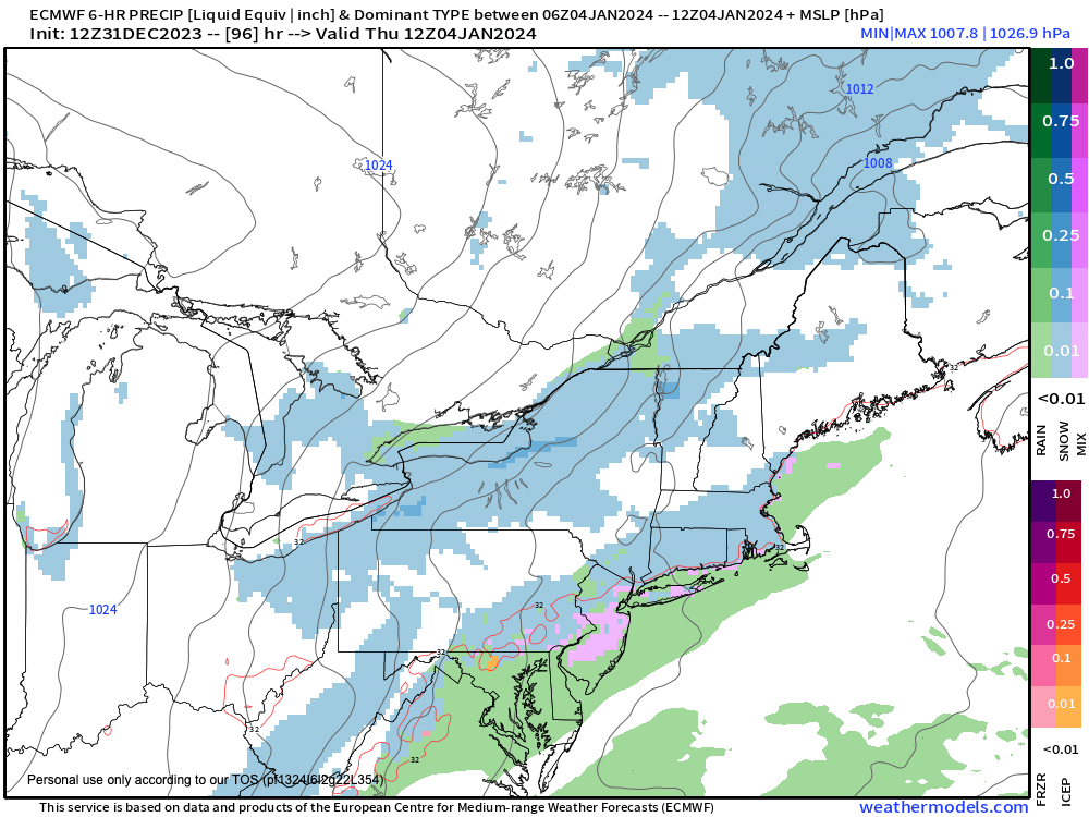
–By Thursday, a weak northern stream disturbance will track east into our region, with its southern stream counterpart tracking south of us off of the Mid-Atlantic coastline
–These two will not become friends until tracking well east of us, when they will likely snow over southern Nova Scotia before tracking out into the ocean
–For us, some scattered rain and snow showers are expected with highs in the mid to upper 30s, ending at night with lows in the 20s
–A cold front swings through the region Thursday night
–This will empty colder air into our region for Friday and Saturday with more sunshine expected
–Highs Friday will reach the upper 20s to low 30s with mid 30s for highs on Saturday
–So, the pick of the weekend for the first weekend in 2024 is definitely going to be Saturday, as it is looking stormy for Sunday
–A storm system with origins in the Gulf of Mexico will carry its juice northeast toward the Mid-Atlantic region
–The exact track will be crucial in terms of rain/snow lines, or overall impacts, for that matter
–Right now, it looks like some part of our region is going to see accumulating snow, but it’s too early to have a more solid idea
–It would be a progressive system, so if anything I could expect a more moderate-sized snow storm, something like a 3-6″, 4-8″, or 5-10″ type snowfall, for those that do snow vs. rain
–However, these are just preliminary ideas, and I will refine as we get closer to that time
–What I do know is that the pattern is shifting behind this Thursday northern stream wave, and there will be more chances for cold and/or storminess through mid-January, with up to 3 storm signals currently on my radar
All this to say, stay tuned for updates through the week, folks, and have a great New Year’s Day!!