
POST TABLE OF CONTENTS:
–Weekly Nutshell (Quick impact list)
–Sponsor Note (Tandem Bagel Co.)
–NWS Alerts (Advisories, Warnings, Watches)
–Celestial Data (Sun/Moon info)
–Regional Summaries (quick in and out details)
–Morning Discussion (Longer-form explanation)
~~~~~~~~~~~~~~~~~~~~~~
DAVE’S WEEKLY WEATHER NUTSHELL
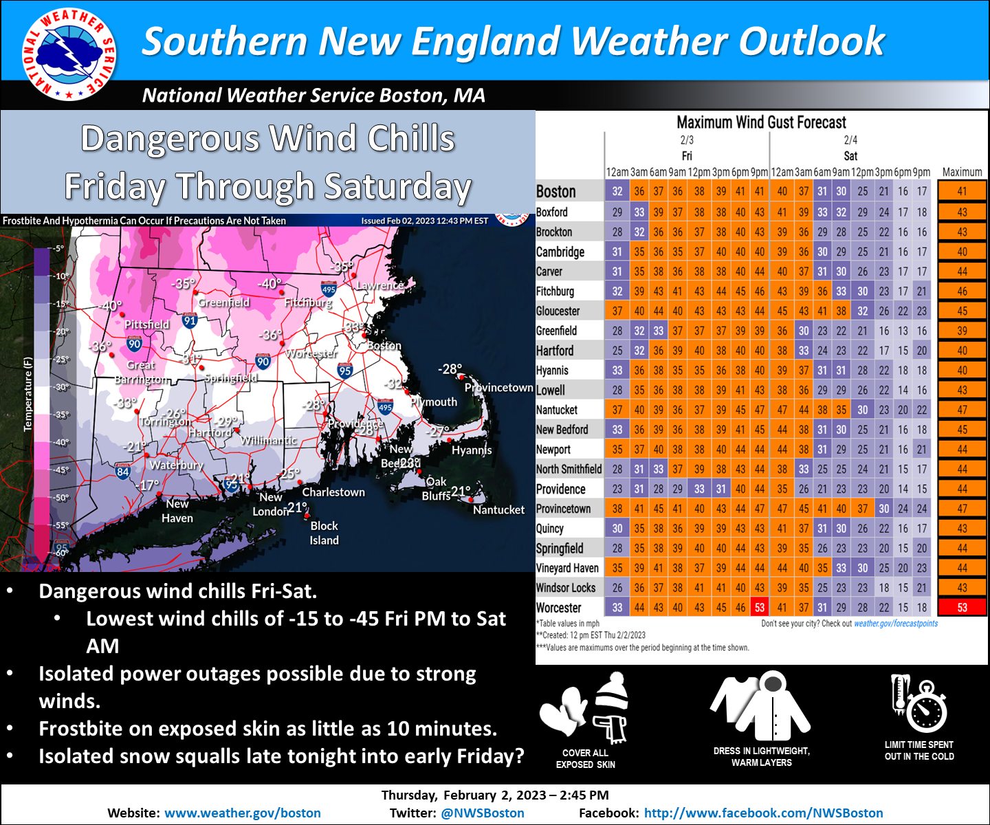
–A piece of the Arctic takes an icy swipe at the WMass region through Saturday morning
–Snow squalls/showers have cleared the region
–Northwest winds will gust 30-45mph today, and could reach up to 50mph or so in the high terrain this morning, and again tonight
–Sunshine will be ineffective with temps crashing to -5 to -20º below zero by late tonight
–Wind chills will get down to -10 to -25 below zero today, and then -20 to -45 below zero tonight
–Wind Chill Warnings continue region-wide, which is very rare
–Winds slacken a bit Saturday afternoon, and temps come up into the teens, with lows singles
–We revert back to above seasonable temps with highs in the upper 30s to mid 40s Sunday into the middle of next week with more clouds than Sun through Monday
–Breezy conditions develop, and some rain or snow showers are possible by mid week, but before we jump into the weather discussion/details below, let’s check a note from our local and delicious sponsor, #TandemBagelCo, with their newest location in West Springfield, MA.
~~~~~~~~~~~~~~~~~~~~~~
A NOTE FROM OUR SPONSOR:
DHTWN Is Sponsored by Members, Patrons & Tandem Bagel Company: No matter the weather, Tandem Bagel is always there for you at several valley locations to make your mornings brighter! With bagels baked fresh daily (including Gluten-Free options), house-whipped cream cheese, coffee, and tons of lunch options, Tandem is the perfect quick stop for lunch, breakfast, or a coffee and bagel to go. Find them in Easthampton, Northampton, Hadley, Florence, and West Springfield, or use their super-streamlined online ordering tool by visiting their website.
~~~~~~~~~~~~~~~~~~~~~~~~~~~~~~~~
***DHTWN DAILY WEATHER REPORT***
~~~~~~~~~~~~~~~~~~~~~~~~~~~~~~~~
NATIONAL WEATHER SERVICE ALERTS
–Wind Chill Warnings have been hoisted for the entire greater WMass region from 10am today to 10am Saturday
DHTWN REMINDER
–The odds of being a human are 1 in 400,000 billion… do or share something you love today, even in a small way (see Kurt Vonnegut quote at end of post)
DAILY CELESTIAL (STAR):
–OUR STAR ROSE AT: 7:01am this morning
–OUR STAR WILL SET AT: 5:07pm this evening
–TOTAL DAYLIGHT TIME: 10 hours and 6 minutes
NIGHTLY CELESTIAL (MOON):
–OUR MOON WILL RISE AT: 2:56pm this afternoon
–OUR MOON WILL SET AT: 6:50am tomorrow morning
–MOON RISE DIRECTION: Northeast
–MOON SET DIRECTION: Northwest
–MOON PHASE: Waxing Gibbous (95.3%)
~~~~~~~~~~~~~~~~~~~~~~~~~~~~~~~~
DAILY TERRESTRIAL (ZoneCast)
ZONE 1 (Northern Region)
Southern VT, Southwest NH, N. Taconics NY
–High Temps: Highs have been reached, temps crash all day
–Low Temps: -15 to -20º
–Wind Chills: -25 to -45º
–Wind: Northwest winds gust 30-50mph at times
–Skies: Mostly sunny
–Precipitation: None
ZONE 2 (Central Region)
WMass, N. CMass, N. Litchfield County, C./S. Taconics NY
–High Temps: Highs have been reached, temps crash all day
–Low Temps: -5 to -15º
–Wind Chills: -15 to -40º
–Wind: Northwest winds gust 30-50mph at times
–Skies: Mostly sunny
–Precipitation: None
ZONE 3 (Southern Region)
S. CMass, S. Litchfield County, NC.CT, & NE.CT
–High Temps: Highs have been reached, temps crash all day
–Low Temps: -5 to -10º
–Wind Chills: -20 to -35º
–Wind: Northwest winds gust 30-50mph at times
–Skies: Mostly sunny
–Precipitation: None
~~~~~~~~~~~~~~~~~~~~~~~~~~~~~~~~
WHERE’S DAVE?
1. I’ve been reporting our weather daily here and at https://www.westernmassweather.com for a decade
2. Get my free weekly newsletter here: https://westernmassweather.com/homepage/dhtwn-nutletter-signup/
3. Actively visit this FB page via the app or web, as I may not always auto-kiss your screens
~~~~~~~~~~~~~~~~~~~~~~~~~~~~~~~~
MORNING DISCUSSION
Good morning folks, the cold front has moved through the region and brought some snow showers or flurries with it which dusted a few areas, but now the front is heading toward the southern New England coastline, and we have already seen gusts between 40-45mph in Westfield and North Adams, MA, so the front is THROUGH, and temps are falling throughout the day from this point.
I’ve noted a little under 100 outages in the Berkshires already, and a little over 100 outages in Worcester County / CMass as of this writing, so the isolated outage issue has begun, and I expect more to develop (for high terrain areas mostly) through tonight and into very early Saturday morning.
There’s not much else to say that hasn’t been said prior to this post. A piece of the Arctic has been siphoned south due to a combo of powerful low pressure in Labrador and powerful high pressure into the northern Plains of the U.S.
These two features acted as a vacuum to pull already very cold air positioned in northern Canada and down into Hudson Bay, and sling it through our region for a couple of days as a sort of one-off event, given that main flow is more zonal off of the Pacific, which is a milder flow in winter time.
So, northwest winds will gust 30-50mph today and tonight, and temps will crash down into the 5 to 20 below range from south (northern CT) to north (SVT/SWNH) with many WMass/CMass areas in the -10 to -15 range.
Wind chills today (which are already below zero in SVT) will continue to decrease into the -10 to -25 range before sunset, and then just drop off the cliff overnight down into the -20 to -45 range.
Again you can realize frostbite to exposed skin within 10 to 15 minutes with wind chills like that, so bundle up, cover up, protect pets, peeps and pipes today, tonight and tomorrow morning during the worst of this brief Arctic blast. At least it’ll be sunny!
For Saturday, northwest winds will still be gusty, getting up to 30mph or so, but should slacken a bit later in the afternoon. It will be sunny and highs will reach the teens, most likely, with lows in the single digits, which by the way is still cold!
Then we snap back to the background flow in place across the country with highs reaching the upper 30s to low 40s under mostly cloudy skies, with lows in the 20s.
Above-seasonable mildness continues into at least mid-week with a few showers possible at that point, but no big storms are in sight at the moment, and I’m remaining focused on the next 36 hours, with the potential for record-breaking cold to be entered into the history books.
Have a great day and stay warm!
Let’s Stay Together (click for options).
Join my Free Weekly Nutletter (click to join).
Follow me on Twitter (click to follow).
AND REMEMBER…
“Hello babies. Welcome to Earth. It’s hot in the summer and cold in the winter. It’s round and wet and crowded. On the outside, babies, you’ve got a hundred years here. There’s only one rule that I know of, babies: Goddamn it, you’ve got to be kind.”
–Kurt Vonnegut