
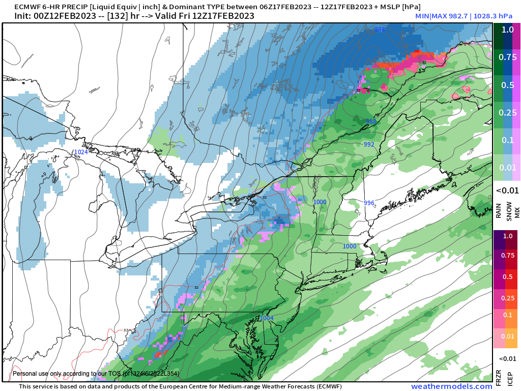
Friday showers
And so, after that exhausting run-on sentence, please allow me to list out our sneak preview of coming weather events below:
–Departing high pressure to our south today puts us in a light southwest flow with mostly sunny skies
–Highs will reach well into the 40s
–Clouds increase tonight, but should be mainly high clouds, allowing low temps to drop into the mid 20s, dry
–A storm passes to our south tomorrow, and any morning high or mid-level clouds should give way to mostly sunny skies with highs in the low to mid 40s
–A wave passing north of the WMass region develops partial cloudiness develops south of the Pike Monday night with mostly cloudy skies north along with a few snow showers possible, lows will drop into the upper 20s to low 30s
–Northwest winds pick up behind late at night and gust 25-35mph, and this continues into Tuesday with sunny skies with highs in the 40s and lows in the 20s
–Warm advection flow out of the southwest develops as a southeast U.S. ridge and upper low near the Rockies join forces to drive milder air into the region
–Highs should reach the low to mid 50s Wednesday with mostly cloudy skies, and lows near 40º, and southerly winds could gust over 25mph with more breezy conditions
–Thursday is the warmest day we’ve seen since 2022 with highs in the mid 60s with records likely to be broken, along with breezy southwest wind
–Clouds will develop as a storm moves through the Great Lakes, and showers should arrive sometime Thursday night with mild lows in the upper 40s
–Friday looks showery with a cold front moving through the region
–Before it does, highs should reach to near 60º before a final band of rain moves through and turns our wind out of the west and gusting over 30mph at times
–Cold air will come rushing in Friday night with windy conditions at times and lows in the upper teens to low 20s
–Saturday looks sunny and blustery with highs in the low to mid 30s and lows in the low 20s, with continued fair weather for Sunday
–No big storms in sight
I hope you have a great day and do something you enjoy doing, take care.