
TABLE OF CONTENTS
* Daily Celestials (Sun/Moon Data)
* Sponsor Note
* Join My Newsletter
(& get my Top12WMassStorms ebook!)
* Morning Discussion
* TIP: Scroll below for sections, or read all
~~~~~~~~~~~~~~~~~~~~~~
YOUR DAILY CELESTIALS
~~~~~~~~~~~~~~~~~~~~~~
STAR:
–OUR STAR ROSE AT: 6:11am this morning
–OUR STAR WILL SET AT: 7:31pm this evening
–TOTAL DAYLIGHT TIME: 13 hours and 20 minutes
MOON:
–OUR MOON WILL SET AT: 3:47pm this afternoon
–MOON SET DIRECTION: Northwest
–OUR MOON WILL RISE AT: 12:14am tomorrow morning
–MOON RISE DIRECTION: Northeast
–MOON PHASE: Waning Crescent (38.7%)
~~~~~~~~~~~~~~~~~~~~~~
A NOTE FROM OUR SPONSOR
~~~~~~~~~~~~~~~~~~~~~~
Dave Hayes The Weather Nut is Sponsored by Individual Community Members, Patrons, and Tandem Bagel Company… No matter the weather, Tandem Bagel is always there for you at several valley locations to make your mornings brighter! With *New Pizza Bagels(!)*, along with bagels baked fresh daily (including Gluten-Free options), house-whipped cream cheese, coffee, and tons of lunch options, Tandem is the perfect quick stop for lunch, breakfast, or a coffee and bagel to go.
You can either 1) visit them in Easthampton, Northampton, Hadley, Florence, and/or West Springfield, 2) hire them to cater your next event, or 3) use their super-streamlined online ordering tool by visiting their website and clicking the “Catering” or “Order Online” links.
~~~~~~~~~~~~~~~~~~~~~~
DAVE’S WEEKLY NEWSLETTER (Top 12 WMass Storms)
DAVE’S MOBILE APP (Late 2024 Release)
~~~~~~~~~~~~~~~~~~~~~~
YOUR MORNING DISCUSSION
~~~~~~~~~~~~~~~~~~~~~~
Good morning folks, I hope you slept well, are feeling ok, and ready for the day. If not, I hope things go as well as they can for you today, somehow.
As far as our weather is concerned, we have patchy dense fog out there thanks to temps coming down along with leftover moisture from rainfall, so take it slow early on.
Fog should dissipate by mid morning or so, and a lovely, warm day with highs in the upper 70s to mid 80s under mostly sunny skies will develop for our Tuesday.
Lows tonight will hang in the low to mid 60s, and clouds will increase late.
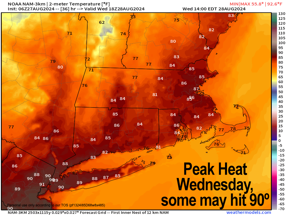
There is a push of warmth and humidity incoming overnight, which will lead to dewpoints in the 65-70º range tomorrow, and high air temps in the 85-90º range prior to a cold front moving through with isolated to scattered showers and thunderstorms Wednesday afternoon.
However, some ongoing convection on the nose of this incoming warm front may push some showers or even a thunderstorm or two into western parts of our region west of the I-91 corridor during the pre-dawn hours of Wednesday morning, perhaps around 4-7am or so.
I will be monitoring it, and will update again briefly this evening, but just know it could be a bit wet or noisy for some early Wednesday morning, especially in the Litchfield / Berkshire / Bennington County corridor.
The Storm Prediction Center pulled the severe storm potential further southwest for Wednesday afternoon, so hopefully that trend will continue, but we could see a gusty storm later Wednesday. Lows will dip into the mid to upper 50s.
By Thursday and Friday, a refreshing air mass dives southeast out of Canada with highs in the low to mid 70s and lows in the low to mid 50s with low humidity, and partly to mostly sunny skies.
By Saturday, an upper trough will exist east out of the Great Lakes and send a shortwave into our region, which should help produce some scattered showers with perhaps a thunderstorm or two. Highs will also reach the low to mid 70s with lows in the 50s with a few showers early.
Sunday the day looks drier behind this shortwave, with highs in the upper 70s to low 80s, and lows near 60º as clouds increase.
By Labor Day Monday, a stronger secondary cold front looks to come through later in the day after morning sunshine, and behind this front we could see the coolest air since the Spring of 2024 with highs only in the 60s and lows in the 40s to start September!
Have a great day!
“Follow your bliss and the universe will open doors for you where there were only walls.”
― Joseph Campbell