
[7:30AM SUN: 4/7/24] SUNSHINE RETURNS TODAY THROUGH TUESDAY WITH OPTIMAL SOLAR ECLIPSE VIEWING (ABOUT 2:15PM-4:30PM WITH TOTALITY AROUND 3:25PM)… MORE RAIN BY WEDNESDAY NIGHT AND ESPECIALLY THE LATE WEEK PERIOD… HEAVY RAIN AT TIMES AND BREEZY… DECENT LOOKING WEEKEND… MILDER TEMPS OVERALL…
~~~~~~~~~~~~~~~~~~~~~~
TABLE OF CONTENTS
* Daily Celestials (Sun/Moon Data)
* Weekly Weather Nutshell
* Morning Discussion
* TIP: Scroll below for sections, or read all
~~~~~~~~~~~~~~~~~~~~~~
YOUR DAILY CELESTIALS
~~~~~~~~~~~~~~~~~~~~~~
STAR:
–OUR STAR ROSE AT: 6:21am this morning
–OUR STAR WILL SET AT: 7:23pm this evening
–TOTAL DAYLIGHT TIME: 13 hours and 2 minutes
MOON:
–OUR MOON WILL SET AT: 6:16pm this evening
–MOON SET DIRECTION: West
–OUR MOON WILL RISE AT: 6:15am tomorrow morning
–MOON RISE DIRECTION: East
–MOON PHASE: Waning Crescent (2.8%)
~~~~~~~~~~~~~~~~~~~~~~
>>> A NOTE FROM OUR SPONSOR <<<
Dave Hayes The Weather Nut is Sponsored by Individual Community Members, Patrons, and Gerard, Ghazey & Bates, P.C. GGBPC is a Northampton-based law firm regarded as the voice of pragmatic and well-reasoned estate planning, elder law and tax guidance in Western Massachusetts. The firm specializes in estate planning law, and expertly handles other matters such as Elder Law, Tax Law, as well as Real Estate purchase, sales, and refinance transactions. Contact GGBPC today to see how they can help!
~~~~~~~~~~~~~~~~~~~~~~
YOUR WEEKLY WEATHER NUTSHELL
~~~~~~~~~~~~~~~~~~~~~~
–Our old-and-in-the-way upper low is still lurking over the northwest Atlantic
–It spun a few snow showers through northeast CT and CMass this morning
–We can’t rule out a spot shower east of I-91 today, but the trend is a drying one
–Northerly breezes should slacken by tonight
–We should see party sunny skies increasing, with highs in the mid 40s to low 50s with lows in the upper 20s with radiational cooling
–Monday and Tuesday look lovely, with highs in the mid 50s to low 60s on Monday, and low to mid 60s by Tuesday
–Lows both nights will be near 40º
–The Solar Eclipse for tomorrow, Monday April 8th reaches totality for a few minutes around 3:25pm, but begins and ends between 2:15pm and 4:30pm
–If you are going to see it in NY, VT, NH or ME, please take video of it and share it on this page, though be sure to protect your eyes
–By Wednesday, we’ll enter a transition day that should start off mostly cloudy, and end with some warm advection showers out ahead of an incoming storm system that will pass NW of us thru the Great Lakes
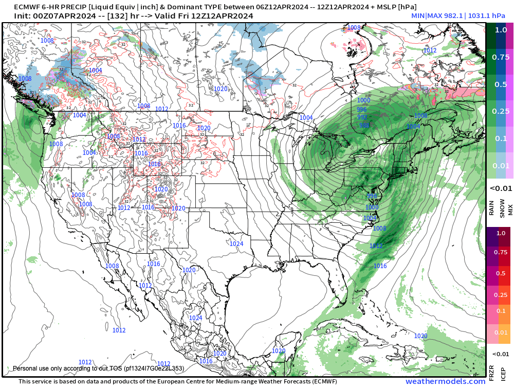
–Highs should sit in the 50s, and by late week, heavier and steadier rainfall is looking fairly likely at this point
–Temps should reach to either side of 60º, with breezy conditions
–At the moment, it looks like fair and mild weather for the following weekend, so here’e hoping!
~~~~~~~~~~~~~~~~~~~~~~
YOUR MORNING DISCUSSION
~~~~~~~~~~~~~~~~~~~~~~
Good morning folks, I’m leaving this report short and simple as the Nutshell above handles everything.
There’s basically a drying, milder, fair weather period ahead for us from Sunday/today through Tuesday.
Thereafter, Wednesday morning is our transition back to cloudier and unsettled conditions, with Wednesday night into Friday looking rainy at times, with some amount of wind as well, before we land into a nicer looking weekend.
Have a great day!
>>> BE KIND <<<
“Hello babies. Welcome to Earth. It’s hot in the summer and cold in the winter. It’s round and wet and crowded. On the outside, babies, you’ve got a hundred years here. There’s only one rule that I know of, babies: Goddamn it, you’ve got to be kind.”
–Kurt Vonnegut