
TODAY’S NUTSHELL: Good morning folks, we have a wide variety of temps from the low 30s to the low 50s across the region this morning, and any patchy fog will burn off. Lots of sunshine will resplendently regale us with loveliness and Springtime ease with only a couple of showery bouts Tuesday evening and again on Friday, possibly lasting into Saturday morning.
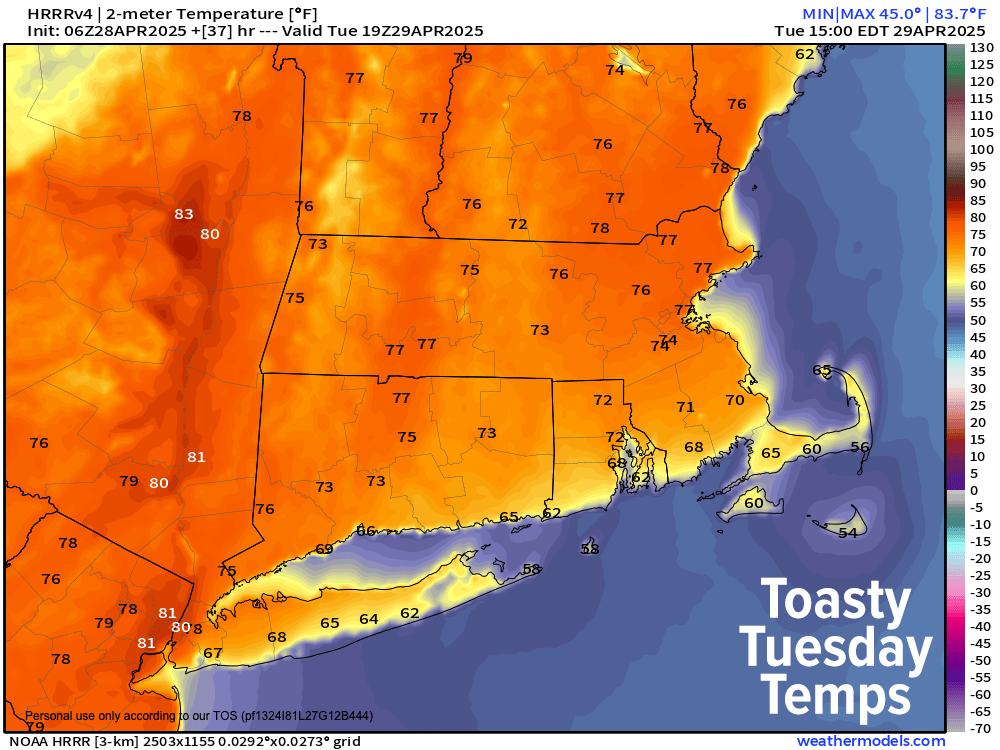
TABLE OF CONTENTS
* Daily Celestials (Sun/Moon)
* Sponsor Section
* Your Short-Term ZoneCast
* Morning Discussion
~~~~~~~~~~~~~~~
YOUR DAILY CELESTIALS
~~~~~~~~~~~~~~~~~~~~~~
STAR:
–OUR STAR ROSE AT: 5:49am this morning
–OUR STAR SETS AT: 7:46pm this evening
–TOTAL DAYLIGHT TIME: 13 hours and 57 minutes
MOON:
–OUR MOON ROSE AT: 5:58am this morning
–MOON RISE DIRECTION: East-Northeast
–OUR MOON SETS AT: 9:27pm tonight
–MOON SET DIRECTION: West-Northwest
–MOON PHASE: Waxing Crescent (0.7%)
~~~~~~~~~~~~~~~~~~~~~~
A NOTE FROM OUR SPONSOR
~~~~~~~~~~~~~~~~~~~~~~
Dave Hayes The Weather Nut is Sponsored by Individual Community Members, Patrons, and Tandem Bagel Company… No matter the weather, Tandem Bagel is always there for you at several valley locations to make your mornings brighter! With *New Pizza Bagels(!)*, along with bagels baked fresh daily (including Gluten-Free options), house-whipped cream cheese, coffee, and tons of lunch options, Tandem is the perfect quick stop for lunch, breakfast, or a coffee and bagel to go.
You can either 1) visit them in Easthampton, Northampton, Hadley, Florence, and/or West Springfield, 2) hire them to cater your next event, or 3) use their super-streamlined online ordering tool by visiting their website and clicking the “Catering” or “Order Online” links.
~~~~~~~~~~~~~~~~~~~~~~
YOUR SHORT-TERM ZONECAST
~~~~~~~~~~~~~~~~~~~~~~
ZONE 1 – Northern Region
(Southern VT, Southwest NH)
–Highs Today: Mid 60s to Low 70s
–Lows Tonight: Low to Mid 40s
–Highs Tomorrow: Low to Upper 70s (lower in mountains)
–Winds: Light today and tonight, southwest gusts 20-35mph tomorrow
–Skies: Mostly sunny today, mostly clear tonight, mostly sunny tomorrow
–Precip: None through tomorrow morning, some showers later afternoon
–NWS Alerts + Nut Notes: None.
ZONE 2 – Central Region
(Western MA, North-Central MA, Northern Litchfield CT)
–Highs Today: Upper 60s to Mid 70s
–Lows Tonight: Mid to Upper 40s
–Highs Tomorrow: Mid to Upper 70s
–Winds: Light today and tonight, southwest gusts 20-35mph tomorrow
–Skies: Mostly sunny today, mostly clear tonight, mostly sunny tomorrow
–Precip: None through tomorrow morning, some showers by evening
–NWS Alerts + Nut Notes: None.
ZONE 3 – Southern Region
(South-Central MA, Northern CT)
–Highs Today: Low to Mid 70s
–Lows Tonight: Mid to Upper 40s
–Highs Tomorrow: Mid to Upper 70s
–Winds: Light today and tonight, southwest gusts 20-35mph tomorrow
–Skies: Mostly sunny today, mostly clear tonight, mostly sunny tomorrow
–Precip: None through tomorrow morning, some showers by later evening
–NWS Alerts + Nut Notes: None.
~~~~~~~~~~~~~~~~~~~~~~
YOUR MORNING DISCUSSION
~~~~~~~~~~~~~~~~~~~~~~
Good morning everybody, we have a lovely week ahead after a chilly start for some this morning. Temps are spanning over a 20º difference with lows 30s in SVT and the Berkshires, all the way up to the low 50s in parts of northern CT and southern CMass with lots of upper 30s to 40s in WMass.
For today, upper ridging (i.e. higher than average pressures aloft) will dominate our region, helping to produce sunny skies and highs in the upper 60s to mid 70s or many of us in the greater WMass region. A light wind is expected under the ridge which will carry into tonight with lows in the 40s under clear skies.
For tomorrow, more sunshine is expected as the ridge loses some influence with an incoming weak upper trough.
Highs should reach well into the 70s under mostly sunny skies, but clouds will increase late in the day as a front approaches the region, first in SVT and late in the Berkshires/WMass.
In addition, ahead of this front, southwest winds will kick up and gust 20-35mph as the pressure gradient tightens a bit.
A line of weakening thunderstorms moving east out of NY state will transform into showers, likely without any thunder or electricity, and move through 6pm to midnight during the first part of Tuesday night.
Lows will drop into the upper 40s to mid 50s as breezy conditions continue.
By Wednesday, winds will veer out of the northwest and gust up to 25mph at times with mostly sunny skies developing. Highs will reach the mid 60s to lows 70s, with lows in the upper 30s to mid 40s.
Thursday looks to feature partly sunny skies with highs mainly in the 60s with clouds increasing late as a few showers try to develop with a weak warm frontal boundary nearby into early Friday.
This should push our temps up into the 70s for Friday under mostly cloudy skies with more showers possible at night into early Saturday morning.
This forecast period is murky, so I will need more time to parse it out, but Sunday certainly looks like next weekend’s pick at this range.
Have a great day!
“Follow your bliss and the universe will open doors for you where there were only walls.”
― Joseph Campbell