
SECURELY BECOME A 2025 WEATHER NUT SUPPORTER TODAY
–> When 4% of readers support at any level,
this community weather resource remains active in 2025:
(Secure options include Cards, PayPal, Venmo, Check)
~~~~~~~~~~~~~~~~~~
TABLE OF CONTENTS
* Daily Celestials (Sun/Moon Data)
* Sponsor Note
* Morning Discussion
* TIP: Scroll below for sections, or read all
~~~~~~~~~~~~~~~~~~~~~~
YOUR DAILY CELESTIALS
~~~~~~~~~~~~~~~~~~~~~~
STAR:
–OUR STAR ROSE AT: 6:32am this morning
–OUR STAR SETS AT: 5:34pm this evening
–TOTAL DAYLIGHT TIME: 11 hours and 2 minutes
MOON:
–OUR MOON SETS AT: 1:31pm this afternoon
–MOON SET DIRECTION: Southwest
–OUR MOON RISES AT: 5:27am tomorrow morning
–MOON RISE DIRECTION: East-Southeast
–MOON PHASE: Waning Crescent (15.5%)
~~~~~~~~~~~~~~~~~~~~~~
A NOTE FROM OUR SPONSOR
~~~~~~~~~~~~~~~~~~~~~~
Dave Hayes The Weather Nut is Sponsored by Individual Community Members, Patrons, and Tandem Bagel Company… No matter the weather, Tandem Bagel is always there for you at several valley locations to make your mornings brighter! With *New Pizza Bagels(!)*, along with bagels baked fresh daily (including Gluten-Free options), house-whipped cream cheese, coffee, and tons of lunch options, Tandem is the perfect quick stop for lunch, breakfast, or a coffee and bagel to go.
You can either 1) visit them in Easthampton, Northampton, Hadley, Florence, and/or West Springfield, 2) hire them to cater your next event, or 3) use their super-streamlined online ordering tool by visiting their website and clicking the “Catering” or “Order Online” links.
~~~~~~~~~~~~~~~~~~~~~~
YOUR MORNING DISCUSSION
~~~~~~~~~~~~~~~~~~~~~~
Good morning folks, the first episode of The Mildening has been most enjoyable to watch transpire, and even more enjoyable to FEEL.
As I age, the bones and tissues appreciate when the weather steps off of them, either on the cold side or the hot side, so while I love snow, I also love not almost cracking my cranium on an icy driveway!
It’s the little things.
As for our weather going forward, we’re progressing into a very mild pattern this week through Thursday as broad zonal flow (i.e. west to east) persists across the United States, thanks to a couple of stronger storms that will track east through southern Canada and keep the milder air to their south sweeping through New England into Thursday, before a cold front finally runs through with some showers and cools us down a little by Friday, but more so over the weekend when some wintry precipitation may return for some of us by Saturday night.
For today, after some morning cloudiness, we should see partly to mostly sunny skies develop, especially in the valley points south and east with highs in the upper 30s to upper 40s, so snow and ice melt will continue.
We’ll also see southerly winds gusting up to 25mph at times as high pressures passes off to our south and an increasing pressure gradient moves into the region with a potent low to our north.
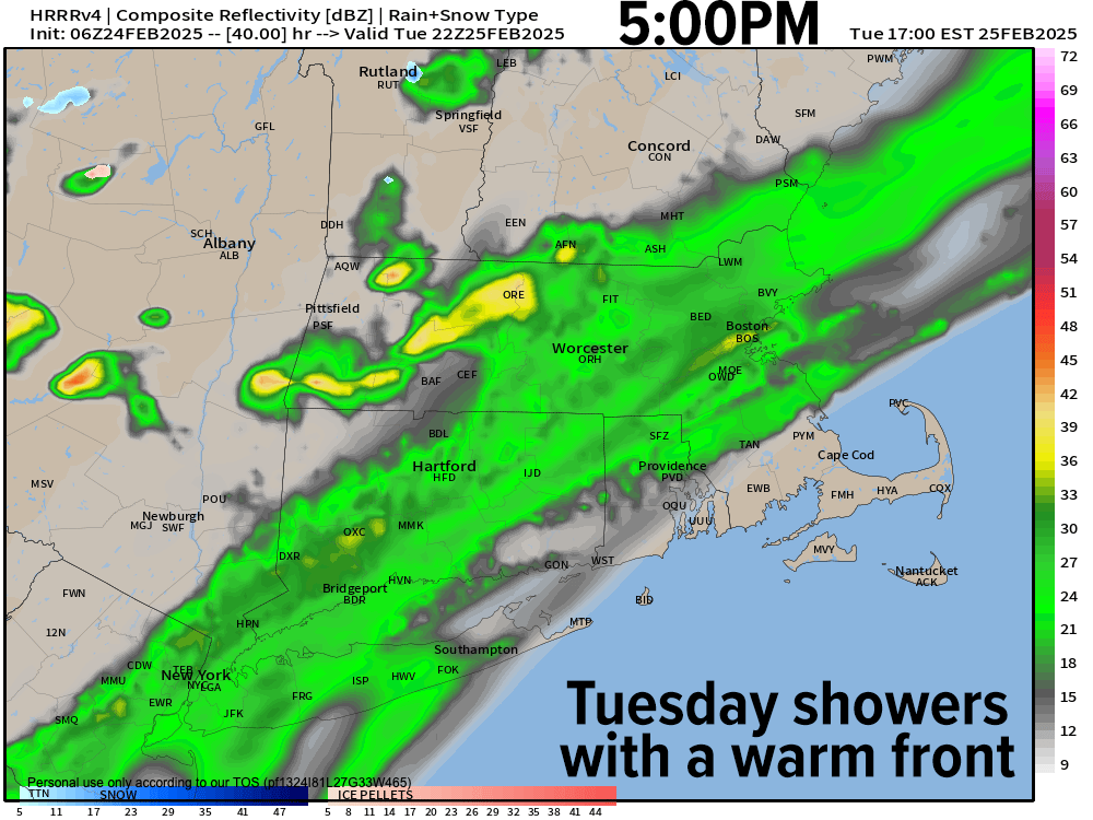
Clouds will increase tonight with lows around freezing, and then a cloudy day awaits tomorrow as a wave along an incoming frontal boundary pushes into the region with some scattered showers by afternoon as highs climb into the low 40s to near 50º. Lows with a few showers in the evening drops to near freezing again as clouds break up late.
——————-
SECURELY BECOME A 2025 WEATHER NUT SUPPORTER TODAY
–> When 4% of readers support at any level,
this community weather resource remains active in 2025:
(Secure options include Cards, PayPal, Venmo, Check)
——————-
A brief period of upper ridging pushes in for Wednesday which will be the pick of the week with mostly sunny skies developing and highs reaching into the 40s as lows dip to either side of 30º with clouds increasing once again as a cold front begins to move toward the region.
This timing of the front’s first arrival overnight should allow some snow showers to develop, which probably will transition to rain showers on Thursday morning as another storm stays north of us, allowing southerly flow into western MA.
Highs on Thursday will reach well into the 40s again with some rain showers around, tapering off later in the afternoon or evening as lows drop into the upper 20s.
That will conclude our first episode of The Mildening, as highs on Friday will start to cool, only reaching the 30s under mostly sunny skies with lows bottoming out into the teens.
On Saturday, clouds likely increase ahead of another Clipper system that makes a closer pass at us, and at this range looks to bring some mixed showers of rain and snow with highs in the 30s, with some snow showers at night as lows dip into the 20s as the storm works through the region.
It gets even colder behind this system for Sunday with a sunny day as highs only climb into the 20s to low 30s with breezy northwest flow and cold lows in the teens at night.
By the middle of next week is when a larger wintry system might be possible, but for now, it’s a bunch of weaker setups, so like I like to say, no big whoop!
Have a great day, and if you’d like to keep me in your service through 2025, you can chip in any comfortable one-time or monthly amount at the secure link to my site below:
——————-
SECURELY BECOME A 2025 WEATHER NUT SUPPORTER TODAY
–> When 4% of readers support at any level,
this community weather resource remains active in 2025:
(Secure options include Cards, PayPal, Venmo, Check)
“Follow your bliss and the universe will open doors for you where there were only walls.”
― Joseph Campbell