
TABLE OF CONTENTS
* Daily Celestials (Sun/Moon Data)
* Sponsor Note
* DHTWN Announcements
* Morning Discussion
* TIP: Scroll below for sections, or read all
~~~~~~~~~~~~~~~~~~~~~~
YOUR DAILY CELESTIALS
~~~~~~~~~~~~~~~~~~~~~~
STAR:
–OUR STAR ROSE AT: 6:24am this morning
–OUR STAR WILL SET AT: 7:09pm this evening
–TOTAL DAYLIGHT TIME: 12 hours and 45 minutes
MOON:
–OUR MOON WILL RISE AT: 12:56pm this morning
–MOON RISE DIRECTION: East-Southeast
–OUR MOON WILL SET AT: 9:55pm this evening
–MOON SET DIRECTION: Southwest
–MOON PHASE: Waxing Crescent (32.5%)
~~~~~~~~~~~~~~~~~~~~~~
A NOTE FROM OUR SPONSOR
~~~~~~~~~~~~~~~~~~~~~~
Dave Hayes The Weather Nut is Sponsored by Individual Community Members, Patrons, and Tandem Bagel Company… No matter the weather, Tandem Bagel is always there for you at several valley locations to make your mornings brighter! With *New Pizza Bagels(!)*, along with bagels baked fresh daily (including Gluten-Free options), house-whipped cream cheese, coffee, and tons of lunch options, Tandem is the perfect quick stop for lunch, breakfast, or a coffee and bagel to go.
You can either 1) visit them in Easthampton, Northampton, Hadley, Florence, and/or West Springfield, 2) hire them to cater your next event, or 3) use their super-streamlined online ordering tool by visiting their website and clicking the “Catering” or “Order Online” links.
~~~~~~~~~~~~~~~~~~~~~~
DHTWN ANNOUNCEMENTS
~~~~~~~~~~~~~~~~~~~~~~
~ Subscribe to Dave’s Weekly Newsletter
(Get the free 70-page ebook: Top 12 WMass Storms!)
~ Look for Dave’s New Mobile App
(Late 2024 Release)
~ DHTWN’S Final 10th Anniversary
Weather Wall Calendar
(Sale launches toward October 1)
~~~~~~~~~~~~~~~~~~~~~~
YOUR MORNING DISCUSSION
~~~~~~~~~~~~~~~~~~~~~~
Good morning everybody, there isn’t much to talk about in terms of our upcoming weather, as it looks very dry and uneventful, and after this summer I suppose that’s a good thing.
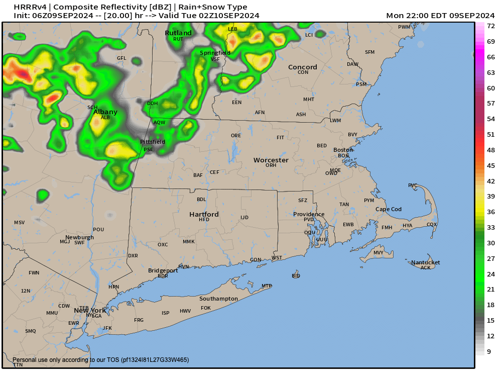
We will see a weaker shortwave dive southeast through our region late this afternoon and into the evening with some scattered showers. A rumble or two of thunder can’t be ruled out.
Before that, highs should reach the low to mid 70s under party to mostly sunny skies, with lows in the low 50s tonight with patchy fog possible late.
For Tuesday, expect a copy of today in terms of temperatures but without any shower chances, and lower humidity (not that today will be humid!)
Lows Tuesday night will dip into the mid to upper 40s for a chillier night.
By mid-week, high pressure moves through and eventually south of our region, which will help produce more sunshine mid to late week with increasing temperatures.
Highs will reach the mid to upper 70s Wednesday under sunny skies, and then into the low to mid 80s late week into the weekend, though Sunday does look a touch less warm as of this writing. Lows will sit down to either side of 50º Wednesday night, and then reside mostly in the 50s from Thursday forward.
Dry, dry, dry, with sun, sun, sun is what we can expect for a number of days ahead.
Have a great day!
“Follow your bliss and the universe will open doors for you where there were only walls.”
― Joseph Campbell