
TABLE OF CONTENTS
* Daily Celestials (Sun/Moon Data)
* Sponsor Note
* Join My Newsletter
(& get my Top12WMassStorms ebook!)
* Morning Discussion
* TIP: Scroll below for sections, or read all
~~~~~~~~~~~~~~~~~~~~~~
YOUR DAILY CELESTIALS
~~~~~~~~~~~~~~~~~~~~~~
STAR:
–OUR STAR ROSE AT: 6:18am this morning
–OUR STAR WILL SET AT: 7:19pm this evening
–TOTAL DAYLIGHT TIME: 13 hours and 1 minute
MOON:
–OUR MOON WILL SET AT: 7:43pm this afternoon
–MOON SET DIRECTION: West
–OUR MOON WILL RISE AT: 7:41am tomorrow morning
–MOON RISE DIRECTION: East
–MOON PHASE: Waxing Crescent (0.1%)
~~~~~~~~~~~~~~~~~~~~~~
A NOTE FROM OUR SPONSOR
~~~~~~~~~~~~~~~~~~~~~~
Dave Hayes The Weather Nut is Sponsored by Individual Community Members, Patrons, and Tandem Bagel Company… No matter the weather, Tandem Bagel is always there for you at several valley locations to make your mornings brighter! With *New Pizza Bagels(!)*, along with bagels baked fresh daily (including Gluten-Free options), house-whipped cream cheese, coffee, and tons of lunch options, Tandem is the perfect quick stop for lunch, breakfast, or a coffee and bagel to go.
You can either 1) visit them in Easthampton, Northampton, Hadley, Florence, and/or West Springfield, 2) hire them to cater your next event, or 3) use their super-streamlined online ordering tool by visiting their website and clicking the “Catering” or “Order Online” links.
~~~~~~~~~~~~~~~~~~~~~~
DAVE’S WEEKLY NEWSLETTER (Top 12 WMass Storms)
DAVE’S MOBILE APP (Late 2024 Release)
~~~~~~~~~~~~~~~~~~~~~~
YOUR MORNING DISCUSSION
~~~~~~~~~~~~~~~~~~~~~~
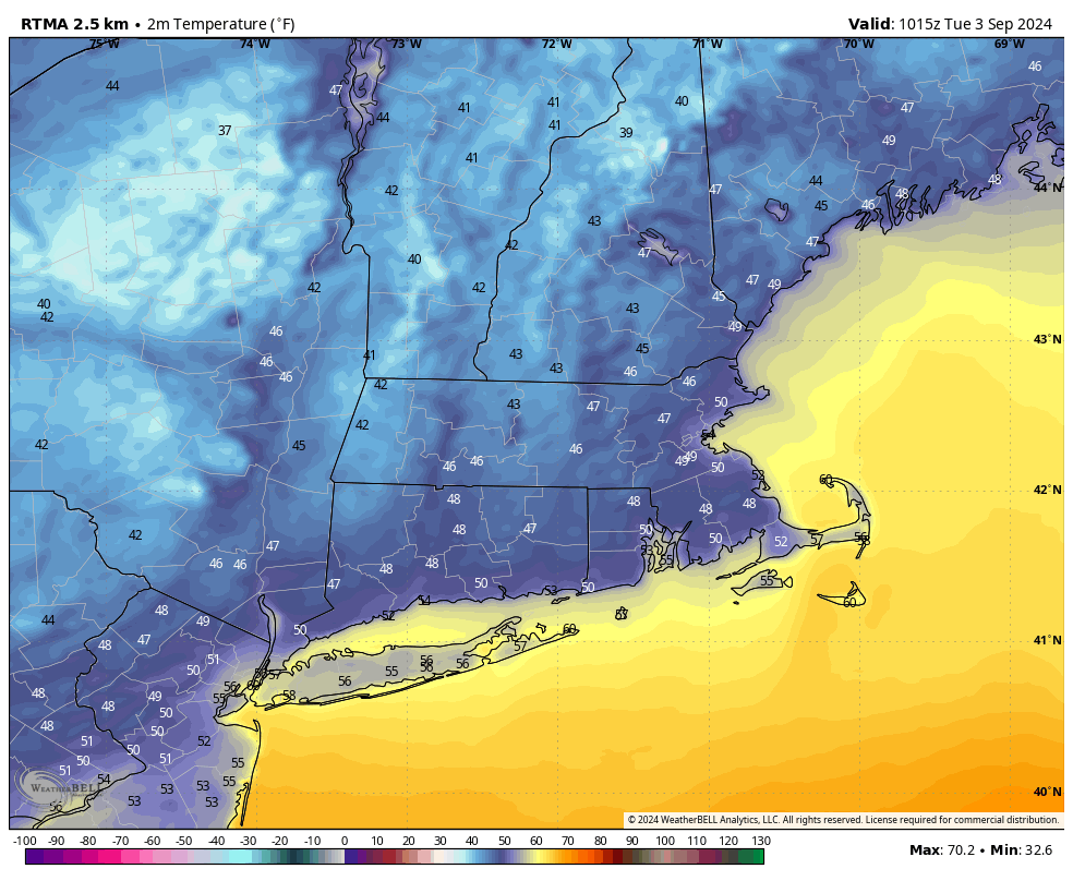
Good morning folks, well well well it’s feeling most autumnal out there this morning, and from what I’m seeing it’s going to feel most autumnal through the middle of September at least.
Of course, I stay focused on the next 7-10 days primarily because in doing this for over 13 years now (and watching the weather for over 40 years) I have seen enough longer-term prognostication ideas go straight into the trash heap, but there really are very few if any signals showing a big increase rainfall, humidity, or temperatures through the end of next week as it looks now.
The next 4 days look peaceful, mostly sunny, dry, and pleasantly warm during the day, with an early Fall chill at night.
All outdoor activities this week and overnight will be supported.
We can thank an incoming massive, ambling, lumbering high pressure system for our good meteorological fortunes this week.
Highs reach the upper 60s to miid 70s today with lows in the low to md 40s.
Highs reach the mid to upper 70s Wednesday through Friday with lows in the upper 40s to low 50s.
High pressure will build east of us by Friday, and with a more southerly flow from this feature, Friday night lows should rise up into the upper 50s.
By the weekend our humidity will come up a bit, and I will be watching the interaction of and impacts from three atmospheric features: an upper level and surface front to our west over the Great Lakes and Ohio Valley; remnant high pressure trying to build southwest down into New England centered over Atlantic Canada; and a coastal storm well east of the Mid-Atlantic coastline.
The timeframe of potential impacts would be *any time* (not the whole time) between Saturday and Monday.
For now, it looks like the upper low west of us deepens too quickly and slows down, thereby allowing Saturday to be less showery than it otherwise could be.
Adding to this scenario is a coastal storm too far out to sea to impact us, and with that high pressure piece mixing dry air into our region on Saturday.
Based on all this, for now, Saturday looks to produce some scattered showers at times with highs in the low to mid 70s, with a better chance fro showers from that upper low as it comes east to impact us on Sunday into Monday.
There looks to be more sunshine and dry weather next week after our weekend system moves through, but it is the Saturday to Monday trends that I will be watching most closely as this week wears on, to help parse out and clarify our weather impacts in future weather reports.
Have a great day!
“Follow your bliss and the universe will open doors for you where there were only walls.”
― Joseph Campbell