
[8:05AM SUN: 9/1/24] ONE MORE MUGGY DAY WITH A FEW SHOWERS OR AN ISOLATED T-STORM POSSIBLE, THEN THE NEXT EPISODE OF THE WHOOSHENING AIRS ON WMASS SKY TV, ALL WEEK LONG… TONS OF SUN ON THE WAY WITH WAY LOW HUMIDITY, AND CLEAR/COOL NIGHTS… BY FRIDAY NIGHT AND ESPECIALLY SATURDAY A COLD-SEASON TYPE PATTERN SETS UP WITH A COASTAL CAROLINA LOW TRACKING NORTHEAST TOWARD NEW ENGLAND WITH RAIN AND WIND POSSIBLE… FAIR WEATHER RESUMES BY SUNDAY OR MONDAY… NO REPORT ON LABOR DAY…
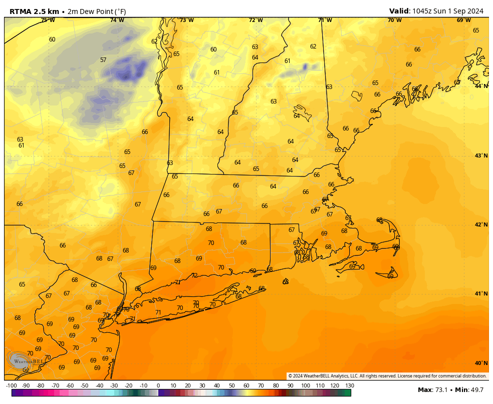 TABLE OF CONTENTS
* Daily Celestials (Sun/Moon Data)
* Sponsor Section
* Morning Discussion
* TIP: Scroll to your section, or read all
~~~~~~~~~~~~~~~~~~~~~~
YOUR DAILY CELESTIALS
~~~~~~~~~~~~~~~~~~~~~~
STAR:
–OUR STAR ROSE AT: 6:16am this morning
–OUR STAR WILL SET AT: 7:23pm this evening
–TOTAL DAYLIGHT TIME: 13 hours and 7 minutes
MOON:
–OUR MOON WILL SET AT: 7:05pm this evening
–MOON SET DIRECTION: West-Northwest
–OUR MOON WILL RISE AT: 5:37am tomorrow morning
–MOON RISE DIRECTION: East-Northeast
–MOON PHASE: Waning Crescent (2.4%)
~~~~~~~~~~~~~~~~~~~~~~
>>> A NOTE FROM OUR WEEKEND SPONSOR <<<
Dave Hayes The Weather Nut is Sponsored by Individual Community Members, Patrons, and Gerard, Ghazey & Bates, P.C. GGBPC is a Northampton-based law firm regarded as the voice of pragmatic and well-reasoned estate planning, elder law and tax guidance in Western Massachusetts. The firm specializes in estate planning law, and expertly handles other matters such as Elder Law, Tax Law, as well as Real Estate purchase, sales, and refinance transactions. Contact GGBPC today to see how they can help!
~~~~~~~~~~~~~~~~~~~~~~
YOUR MORNING DISCUSSION
~~~~~~~~~~~~~~~~~~~~~~
Good morning everybody, we’ve got a mild and muggy start for our Sunday with temps and dewpoints in the 65-70º range.
This is due to an upper trough which is still located to our northwest, putting us on the trough’s southeastern flank. As it rotates air counterclockwise around it, the trough is fostering a moist, warm southerly flow into the greater WMass region until that feature passes east of our longitude late tonight.
So we’ve got one more day of muggy conditions before a Fall feel sweeps the region as our late-season seesaw keeps toggling between warm later summery surges, and early Autumn Cool’n’Dry sweeps.
A few showers are possible today, especially south of the Pike, and I can’t rule out a thunderstorm, but there is drier air aloft despite the moist air surface air, so it will be dry for many of us today (albeit humid), and warm with highs in the upper 70s to low 80s.
Partly sunny skies will develop, especially the more north you go in MA and up into SVT and SWNH.
For tonight, a cold front finally sweeps the region and will drop lows into the mid to upper 50s, but it will take until Monday later morning to really get the drier air in here.
Labor Day through much of Friday looks to be dominated by giant, potent high pressure building in slowly from our west, which puts us into a drying, cooling northwest flow.
Monday and Tuesday highs will reach the upper 60s to mid 70s under mostly sunny skies with lows in the 40s, and possibly the upper 30s for parts of far northwest MA and SVT at elevation!
Hello September!
By Wednesday, we’ll warm a touch as the Wednesday through Friday period is set to feature highs in the mid to upper 70s with lows in the low to mid 50s.
Low humidity dominates this upcoming week, and there will truly be atmospheric peace in the valley.
Interestingly, by Friday night into Saturday, there is a growing storm signal which is more of a cold season pattern setup.
This could involve a coastal low developing along the Mid-Atlantic coastline as an upper trough and corresponding cold front swings into the Great Lakes and Ohio Valley to help strengthen and pivot north into New England to start next weekend.
As of now, Saturday has the potential to be a rainy and windy with what looks like a rainy Nor’easter, so stay tuned for updates on this potential storm.
By later Sunday into the following week, we could see another giant high pressure system pushing east and producing another string of autumnal fair weather days.
I am taking the day off tomorrow due to the fair weather prognostication, though if temps look to really crash Monday night I may pop on in the evening with a quick update.
Have a great day!
HAIKU OF THE DAY:
Peaceful conditions
Equilibrium weather
Unnoticeable
“Follow your bliss and the universe will open doors for you where there were only walls.”
― Joseph Campbell