
[7:19AM THUR 8/29/24] FAIR, DRY AND COOLER WEATHER DOMINATES THE NEXT 7 DAYS, SAVE FOR A WARMER AND MORE HUMID STRETCH FRIDAY NIGHT THROUGH SATURDAY AND INTO THE FIRST PART OF SUNDAY WITH SCATTERED SHOWERS AND THUNDERSTORMS POSSIBLE SATURDAY AFTERNOON, BUT MOST NUMEROUS ON SATURDAY NIGHT INTO VERY EARLY SUNDAY WITH A COLD FRONTAL PASSAGE… NEXT WEEK LOOKS GORGEOUS, SUNNY, DRY, AND COOLER…
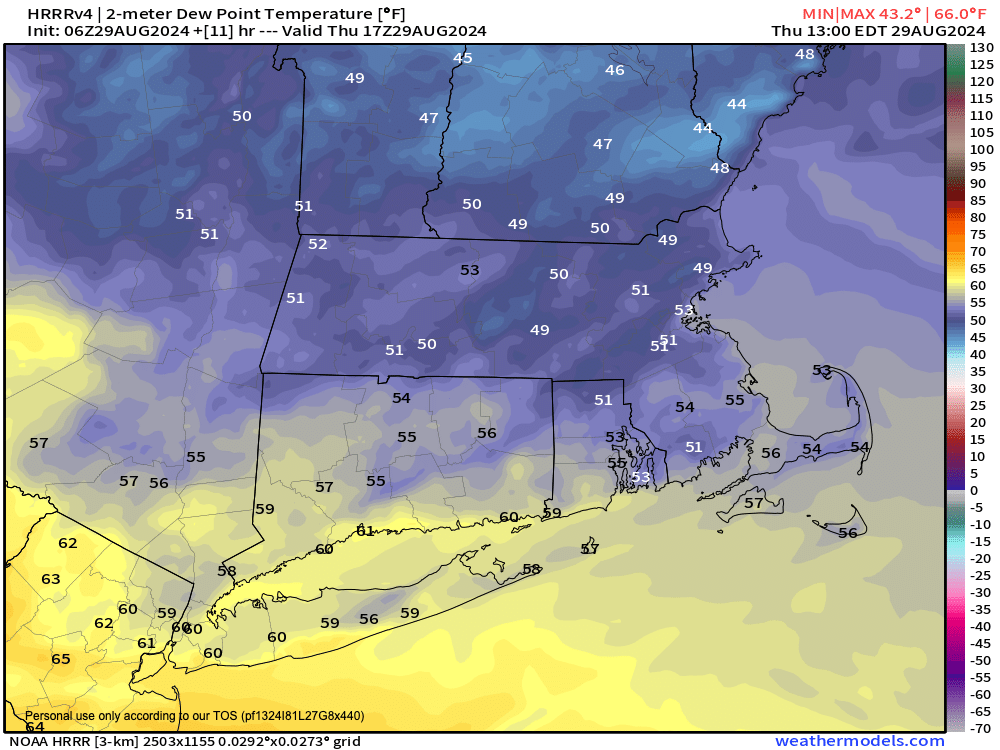
TABLE OF CONTENTS
* Daily Celestials (Sun/Moon Data)
* Sponsor Note
* Join My Newsletter
(& get my Top12WMassStorms ebook!)
* Morning Discussion
* TIP: Scroll below for sections, or read all
~~~~~~~~~~~~~~~~~~~~~~
YOUR DAILY CELESTIALS
~~~~~~~~~~~~~~~~~~~~~~
STAR:
–OUR STAR ROSE AT: 6:13am this morning
–OUR STAR WILL SET AT: 7:28pm this evening
–TOTAL DAYLIGHT TIME: 13 hours and 15 minutes
MOON:
–OUR MOON WILL SET AT: 5:33pm this afternoon
–MOON SET DIRECTION: Northwest
–OUR MOON WILL RISE AT: 2:18am tomorrow morning
–MOON RISE DIRECTION: Northeast
–MOON PHASE: Waning Crescent (19.7%)
~~~~~~~~~~~~~~~~~~~~~~
A NOTE FROM OUR SPONSOR
~~~~~~~~~~~~~~~~~~~~~~
Dave Hayes The Weather Nut is Sponsored by Individual Community Members, Patrons, and Tandem Bagel Company… No matter the weather, Tandem Bagel is always there for you at several valley locations to make your mornings brighter! With *New Pizza Bagels(!)*, along with bagels baked fresh daily (including Gluten-Free options), house-whipped cream cheese, coffee, and tons of lunch options, Tandem is the perfect quick stop for lunch, breakfast, or a coffee and bagel to go.
You can either 1) visit them in Easthampton, Northampton, Hadley, Florence, and/or West Springfield, 2) hire them to cater your next event, or 3) use their super-streamlined online ordering tool by visiting their website and clicking the “Catering” or “Order Online” links.
~~~~~~~~~~~~~~~~~~~~~~
DAVE’S WEEKLY NEWSLETTER (Top 12 WMass Storms)
DAVE’S MOBILE APP (Late 2024 Release)
~~~~~~~~~~~~~~~~~~~~~~
YOUR MORNING DISCUSSION
~~~~~~~~~~~~~~~~~~~~~~
Good morning folks, the frontal boundary has cleared our region to the south and east, and as drier and cooler air works in from the north and northwest, that squeeze play with the old front has some mid-level clouds over parts of the region this morning.
As such we should see a partly sunny day develop with a sprinkle possible early, but drying as the day proceeds.
Highs will reach the low to mid 70s with lower dewpoints in the 50s so it will feel very comfortable.
Lows will dip to either side of 50º and then we’ll do it all again Friday with a sunnier day, highs in the 70s, low humidity, and lows in the 50s as humidity starts to creep up overnight into Saturday.
Saturday afternoon, and especially Saturday night into early Sunday morning is the only real chance for inclement weather over the next 7 days that I can see.
As an upper trough slides east across the international border with Canada, a southwest warming and muggier flow will develop into New England ahead of a surface cold front.
Humidity will increase through Saturday with dewpoints climbing up into the mid 60 to low 70s, with high temps in the mid to upper 70s.
Scattered showers or a thunderstorm will be possible anytime from mid afternoon onward, and we can’t rule out a stronger storm out in the Berkshires.
However, it’s really Saturday night and overnight into early Sunday that more numerous showers could develop, but even then this doesn’t look like a washout, with well under an inch of rain expected. Lows will be mild, hanging in the low to mid 60s and it will be quite humid.
By Sunday morning, the front should be through the region with a few showers leftover with drier air moving in behind the front.
It will still be warm, with highs either side of 80º as sunshine increases, but a less humid air mass should be moving into the region with drier air, and lows dropping back down into the 50s overnight with clearing skies.
Labor Day looks like the pick of the weekend with sunshine, dry air and highs in the upper 60s to mid 70s and very chilly lows in the 40s!
Fair weather dominates under giant high pressure for much of next week with sunshine and highs in the 60s and 70s and lows in the 40s and 50s as we move into September.
Have a great day!
“Follow your bliss and the universe will open doors for you where there were only walls.”
― Joseph Campbell