
TABLE OF CONTENTS
* Daily Celestials (Sun/Moon Data)
* Sponsor Section
* Morning Discussion
* TIP: Scroll to your section, or read all
~~~~~~~~~~~~~~~~~~~~~~
YOUR DAILY CELESTIALS
~~~~~~~~~~~~~~~~~~~~~~
STAR:
–OUR STAR ROSE AT: 6:09am this morning
–OUR STAR WILL SET AT: 7:34pm this evening
–TOTAL DAYLIGHT TIME: 13 hours and 25 minutes
MOON:
–OUR MOON WILL RISE AT: 10:42pm tonight
–MOON RISE DIRECTION: Northeast
–OUR MOON WILL SET AT: 2:39pm tomorrow afternoon
–MOON SET DIRECTION: Northwest
–MOON PHASE: Waxing Gibbous (60.3%)
~~~~~~~~~~~~~~~~~~~~~~
>>> A NOTE FROM OUR WEEKEND SPONSOR <<<
Dave Hayes The Weather Nut is Sponsored by Individual Community Members, Patrons, and Gerard, Ghazey & Bates, P.C. GGBPC is a Northampton-based law firm regarded as the voice of pragmatic and well-reasoned estate planning, elder law and tax guidance in Western Massachusetts. The firm specializes in estate planning law, and expertly handles other matters such as Elder Law, Tax Law, as well as Real Estate purchase, sales, and refinance transactions. Contact GGBPC today to see how they can help!
~~~~~~~~~~~~~~~~~~~~~~
YOUR MORNING DISCUSSION
~~~~~~~~~~~~~~~~~~~~~~
Good morning people, we’re still swinging through the Cosmos, careening really, and our star is still cranking away, and our planet is still hosting this human circus, which means I’m still tappity tap tapping away and communing with you over what may be next to occur within the interface of Space and Earth’s surface, also called “the weather”.
I am noticing that we have a smaller cluster of showers tracking east toward the Berkshires and southwest VT this early morning, so a few of us might get wet before 9am, but those should be light and not be all that impactful.
Any Berkshire or southwest NH fog burns off and partly sunny skies will rule the day with highs in the upper 70s to low 80s, as some isolated showers or a thunderstorm develops this afternoon and evening before dissipating.
Humidity will start to nudge up, and skies will be a bit hazy as a lighter plume of wildfire smoke works overhead. Lows will drop to the 55-60º range tonight under clearing skies.
Monday has the potential for strong to severe thunderstorms, especially east of the I-91 corridor.
We’ll have highs similar to today/Sunday, but we’ll see an upper level trough dive southeast through eastern New England out of Canada.
This will push much colder air into the mid and upper levels aloft overhead, and help to destabilize the atmosphere.
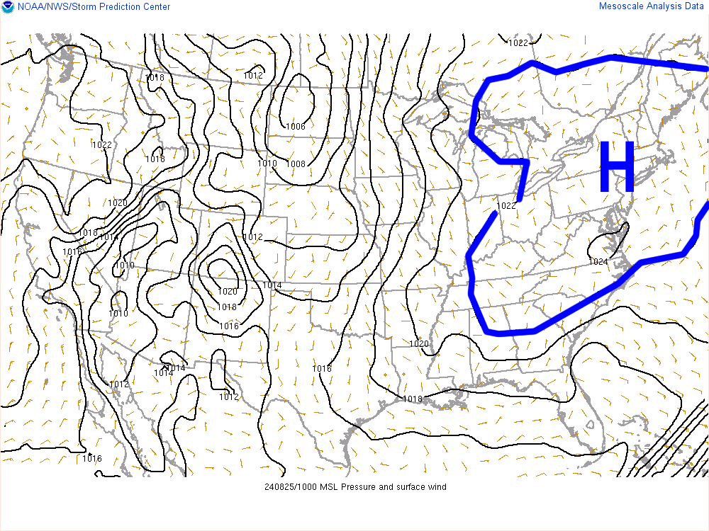
Meanwhile, surface high pressure in the eastern U.S. will be tracking east off of the eastern seaboard and sending warmer and more humid air into the greater WMass region on Monday.
That combo of warm, humid air and increased moisture along with instability and some wind shear will set the stage for scattered strong to severe thunderstorms, mostly along and especially east of the CT River Valley, with Worcester County up into parts of southwest NH most likely to see larger hail or strong to damaging wind gusts in any storms.
The timeframe for impact is like 1-8pm, and storms will be likely tracking northwest to southeast, so keep an eye/ear to the northwestern sky.
Activity dies down after sunset as the trough pulls away to the east, and the surface cools and stabilizes, with lows in the upper 50s.
Tuesday looks quite nice with mostly sunny skies and highs in the low to mid 80s, and lows in the low 60s as humidity creeps up and skies remain mostly clear.
By Wednesday, a cold front will be headed towards our region from the northwest, which will help spawn more showers and thunderstorms.
Heat will peak on Wednesday with highs 85-90º along with high humidity, which will help fuel showers and storms by mid to late afternoon into the evening, with lows either side of 60º.
We’re headed back to much cooler temps late week into the weekend, so no heat waves will be setting up here!
Highs will be in the 70s with lows in the 50s under partly to mostly sunny skies Thursday and Friday prior to another cold front bringing more showers by late Friday night into Saturday to kick off the weekend.
Have a great day!
HAIKU OF THE DAY:
September’s coming
still, Summer’s gas tank sloshes
Wednesday’s heat soon comes
“Follow your bliss and the universe will open doors for you where there were only walls.”
― Joseph Campbell