
~~~~~~~~~~~~~~~~~~~~~~
TABLE OF CONTENTS
* Daily Celestials (Sun/Moon Data)
* Sponsor Note
* Join My Newsletter (& get my Top12WMassStorms ebook!)
* Morning Discussion
* TIP: Scroll below for sections, or read all
~~~~~~~~~~~~~~~~~~~~~~
YOUR DAILY CELESTIALS
~~~~~~~~~~~~~~~~~~~~~~
STAR:
–OUR STAR ROSE AT: 5:20am this morning
–OUR STAR SETS AT: 8:29pm this evening
–TOTAL DAYLIGHT TIME: 15 hours and 9 minutes
MOON:
–OUR MOON SETS AT: 8:00pm this evening
–MOON SET DIRECTION: Northwest
–OUR MOON RISES AT: 4:28am tomorrow morning
–MOON RISE DIRECTION: Northeast
–MOON PHASE: Waning Crescent (2.6%)
~~~~~~~~~~~~~~~~~~~~~~
A NOTE FROM OUR SPONSOR
~~~~~~~~~~~~~~~~~~~~~~
Dave Hayes The Weather Nut is Sponsored by Individual Community Members, Patrons, and Tandem Bagel Company… No matter the weather, Tandem Bagel is always there for you at several valley locations to make your mornings brighter! With *New Pizza Bagels(!)*, along with bagels baked fresh daily (including Gluten-Free options), house-whipped cream cheese, coffee, and tons of lunch options, Tandem is the perfect quick stop for lunch, breakfast, or a coffee and bagel to go.
You can either A) visit them in Easthampton, Northampton, Hadley, Florence, and/or West Springfield, B) hire them to cater your next event, or C) use their super-streamlined online ordering tool by visiting their website and clicking the “Catering” or “Order Online” links.
~~~~~~~~~~~~~~~~~~~~~~
GET DAVE’S TOP 12 MOST POTENT STORMS
IN WMASS HISTORY (Plus 3 honorable mentions)
Grab my detailed (and free) 70-page local storm book filled with storm histories, personal stories, and impacts/facts when you sign up for my free weekly newsletter called “The Nutletter” by clicking the this link to my secure website.
~~~~~~~~~~~~~~~~~~~~~~
YOUR MORNING DISCUSSION
~~~~~~~~~~~~~~~~~~~~~~
Good morning everybody, and I hope you have the day off today and can enjoy some time with friends and family.
As far as our weather is concerned, the main weather story is that of increased humidity starting this afternoon and peaking through Saturday night when dewpoint temps should rise into the low to mid 70s creating very humid conditions.
For today, a partly sunny day on average is expected with more clouds later in the afternoon and highs in the upper 70s to mid 80s as dewpoints come up into the 60s as humidity starts its multi-day build into the region.
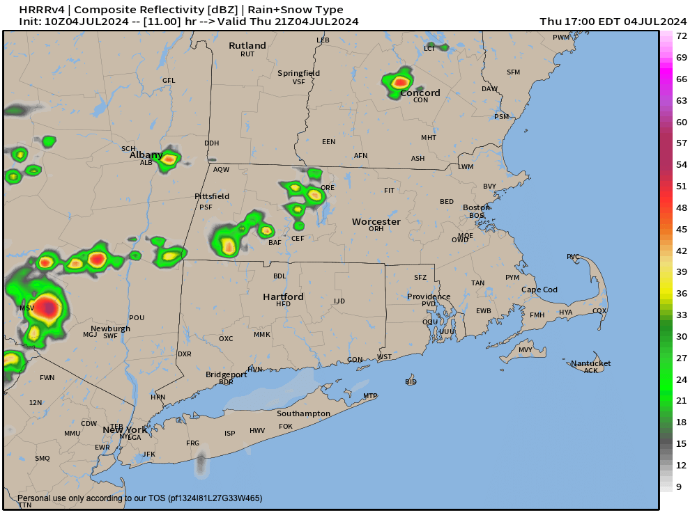
By afternoon a weak frontal boundary will be to our west sort of weakening as it comes east, but should be enough to spark a few isolated showers and a thunderstorm or two, but most folks should stay dry. Still, if you have out door plans, keep an eye out west for darkening skies and/or some thunder rumbles.
Any activity dies down tonight, with lows in the 60s to near 70º, with should allow cooling air temps and rising dew point temps to meet and produce patches of fog in the region.
For Friday, another increasingly humid day with some dewpoints cresting 70º, with skies averaging partly sunny.
Highs will come up firmly into the 80s, with some upper 80s in the valley, so a very warm and humid day is on the way, and as such, additional isolated showers and thunderstorms will form by afternoon and evening.
Lows will only dip to the 65-70º range with more patchy fog possible as clouds increase.
In addition, a frontal boundary will be attempting to lift northeast towards our region overnight along with a mid level wave that will track east towards New England.
These features acting on VERY humid air in place will likely spawn more numerous and heavier showers late Friday night and into Saturday morning, with a few thunderstorms as well.
Saturday looks pretty wet (and humid!) at this point, with highs in the low to mid 80s, but at the moment the hope is for activity to wane during the afternoon, though I can’t rule out some showers later in the afternoon to early evening.
High pressure begins to work into the region late Saturday night (lows will be in the 60s), and especially Sunday and Monday.
Those look like two true summer days at the moment, with mostly sunny skies, highs mid 80s to low 90s, and humid conditions with dewpoints in the 60s.
This could produce Heat Indices into the mid 90s, so some local-area Heat Advisories may need hoisting.
More unsettled weather is possible by Tuesday into Wednesday with more showers continuing to look likely, but I will keep an eye on that period of time and update as we move closer.
Have a great day!
>>> BE KIND <<<
“Hello babies. Welcome to Earth. It’s hot in the summer and cold in the winter. It’s round and wet and crowded. On the outside, babies, you’ve got a hundred years here. There’s only one rule that I know of, babies: Goddamn it, you’ve got to be kind.”
–Kurt Vonnegut