
~~~~~~~~~~~~~~~~~~~~~~
TABLE OF CONTENTS
* Daily Celestials (Sun/Moon Data)
* Sponsor Note
* Join My Newsletter (& get my Top12WMassStorms ebook!)
* Morning Discussion
* TIP: Scroll below for sections, or read all
~~~~~~~~~~~~~~~~~~~~~~
YOUR DAILY CELESTIALS
~~~~~~~~~~~~~~~~~~~~~~
STAR:
–OUR STAR ROSE AT: 5:14am this morning
–OUR STAR SETS AT: 8:29pm this evening
–TOTAL DAYLIGHT TIME: 15 hours and 15 minutes
*Peak Light*
MOON:
–OUR MOON RISES AT: 6:36pm this afternoon
–MOON RISE DIRECTION: Southeast
–OUR MOON SETS AT: 3:32am tomorrow morning
–MOON SET DIRECTION: Southwest
–MOON PHASE: Waxing Gibbous (92.5%)
~~~~~~~~~~~~~~~~~~~~~~
A NOTE FROM OUR SPONSOR
~~~~~~~~~~~~~~~~~~~~~~
Dave Hayes The Weather Nut is Sponsored by Individual Community Members, Patrons, and Tandem Bagel Company… No matter the weather, Tandem Bagel is always there for you at several valley locations to make your mornings brighter! With *New Pizza Bagels(!)*, along with bagels baked fresh daily (including Gluten-Free options), house-whipped cream cheese, coffee, and tons of lunch options, Tandem is the perfect quick stop for lunch, breakfast, or a coffee and bagel to go.
You can either A) visit them in Easthampton, Northampton, Hadley, Florence, and/or West Springfield, B) hire them to cater your next event, or C) use their super-streamlined online ordering tool by visiting their website and clicking the “Catering” or “Order Online” links.
~~~~~~~~~~~~~~~~~~~~~~
GET DAVE’S TOP 12 MOST POTENT STORMS
IN WMASS HISTORY (Plus 3 honorable mentions)
Grab my detailed (and free) 70-page local storm book filled with storm histories, personal stories, and impacts/facts when you sign up for my free weekly newsletter called “The Nutletter” by clicking this link to my secure website.
~~~~~~~~~~~~~~~~~~~~~~
YOUR MORNING DISCUSSION
~~~~~~~~~~~~~~~~~~~~~~
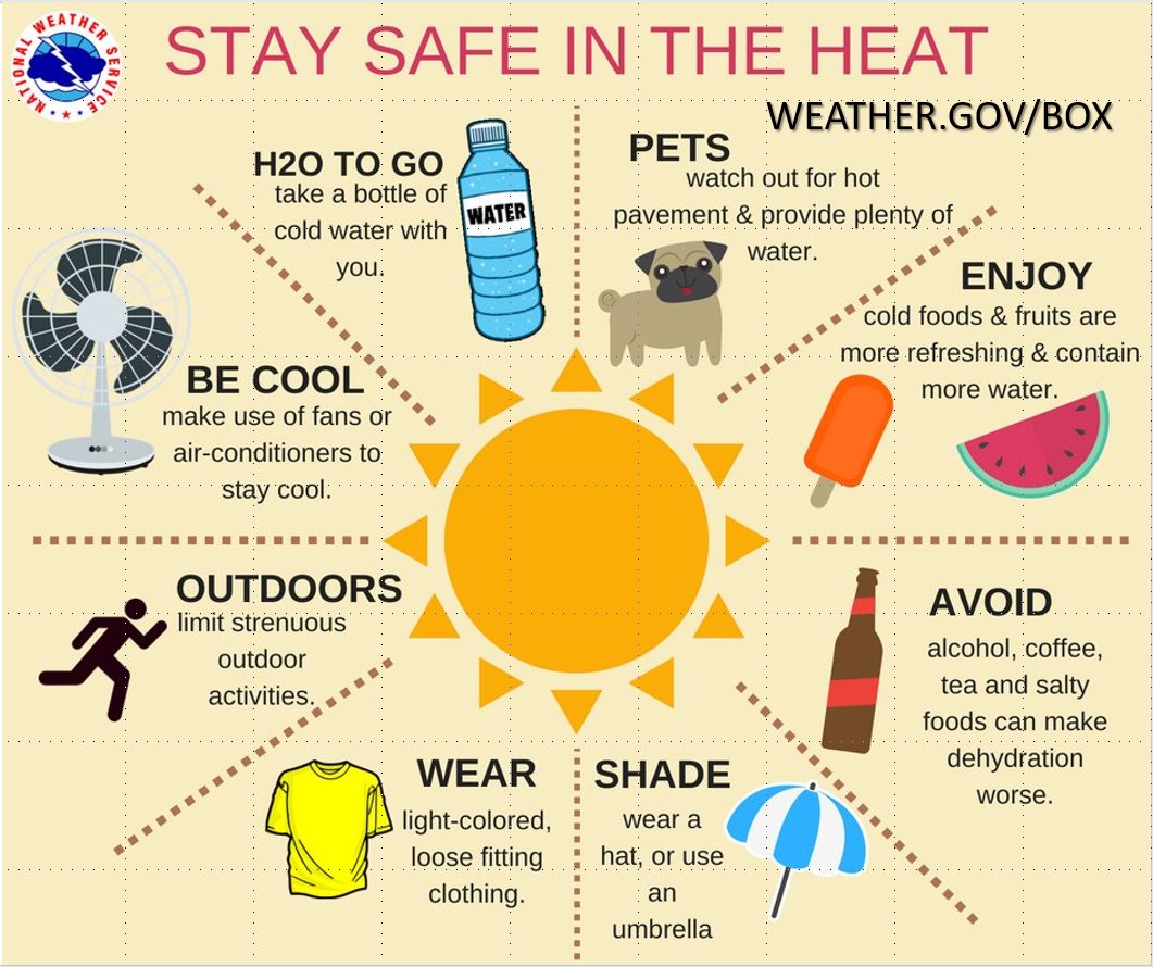
Good morning my friends, the heat is *drum beat, drum beat, drum beat*… ON. *insert husky saxophone melody*
#GlennFreyReference
For today, we are rinsing and repeating yesterday’s weather experience for the most part, with hazy, hot and humid conditions and highs in the low to mid 90s, though we’ll see a few more clouds at times today.
It will be increasingly humid, despite a fairly low humid air mass across the valley and points east this morning, compared to the Berkshires, northern MA and SVT/SWNH where it’s much more humid to start the day.
Just like we saw yesterday in northern Franklin County and SWNH, a few isolated showers or a thunderstorm will develop, but most of us will stay dry. Lows dip into the 65-70º range under partly to mostly cloudy skies.
For Thursday, our heat wave peaks with highs in the mid to upper 90s (low 90s in SVT and parts of SWNH and WMass highest terrain) with heat indices pushing towards 105º as Heat Advisories continue.
However, a change in the upper levels will be afoot due to broad upper trough that will be crawling east-southeast towards northern New England as our upper ridge flattens out and sinks slightly southwest.
These features in combination with peak heat and high instability will help to fire some strong to severe thunderstorms Thursday late afternoon and evening, one or two of which will be capable of damaging wind gusts.
These storms should be mostly relegated well north of the Pike in the Berkshires, Franklin County and northern Worcester County up into SVT and SWNH, but could sink further south. These cells will die out with the setting sun, as well.
Lows will only rest in the upper 60s to low 70s, with humidity continuing.
Friday continues to look wetter, and cooler north of the Pike as a cold front drops southwest into the greater WMass region, which will help focus showers and some thunderstorms.
Highs will reach the mid to upper 80s as the heat wave breaks except for maybe a few spots in northern CT that hit 90º.
The potential for heavy rain in some cells does exist, and I will continue to monitor for street flooding and/or isolated flash flooding potential later Friday into friday night as the front continues to track through and to our south.
Lows will be cooler Friday night, into the low to mid 60s with scattered showers and thunderstorms in parts of the region.
Saturday looks drier to start the day, but again, isolated to scattered showers and storms will be possible as that front will start to lift northeast and pass through our region as a warm front later Saturday night.
The timing of all these subtle frontal shifts is not locked or set in stone, so the exact timing of impacts is not going to be known at this range, for sure.
Highs do look cooler under mostly cloudy skies Saturday, only reaching the upper 70s to low 80s, with lows in the low to mid 60s.
On Sunday, we will be warmer behind the front (highs mid to upper 80s) and will have entered a pre-frontal trough zone to the east of an incoming cold front that will sweep this muggy hot mess east and out of here by sometime on Monday or Monday night, leading to a lovely Tuesday with drier temps and sunny skies.
However, before that happens, a less-wet Sunday morning will turn wet-ter sometime by late Sunday afternoon and certainly Sunday night when widespread showers are expected to sweep through with a few rumbles of thunder.
At this point, the best chance for a strong to severe thunderstorm is Thursday afternoon and evening, and while thunderstorms are possible any day Friday through Sunday, I do think the main impact of that period is going to be heavy rain more than anything else.
Highs Monday and Tuesday are going to only climb to either side of 80º, and Monday morning showers should give way to a partly sunny afternoon as drier air sweeps in Monday night leading to a sunny and lovely Tuesday.
Lots of weather changes are coming, so please stay tuned for updates, and have a great day!
>>> BE KIND <<<
“Hello babies. Welcome to Earth. It’s hot in the summer and cold in the winter. It’s round and wet and crowded. On the outside, babies, you’ve got a hundred years here. There’s only one rule that I know of, babies: Goddamn it, you’ve got to be kind.”
–Kurt Vonnegut