Good morning folks, this update is going to be short and sweet, as I need a day to rest up before the week deepens with more active weather.
Today will be dominated by high pressure with plenty of sunshine and highs in the low to mid 40s with light northerly flow.
Lows will dip into the 20s, and then Tuesday should be a mixed sky day with sun early, and clouds later as a distance ocean storm rotates one of its moist tendrils (again, not the name of my new band) northwest into southeast New England.
We’ll see some clouds in the afternoon from that feature, especially east of the I-91 corridor.
Highs Tuesday will again be in the 40s, with lows in the low to mid 30s as a few showers spread into the region.
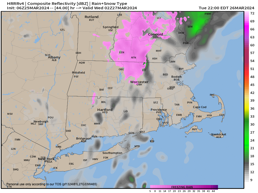
There’s a very low chance that some of the colder spots could se patchy freezing rain overnight (see attached graphic, magenta coloring can indicate frz rain potential), but most spots will see just a few plain rain showers.
Wednesday and Wednesday night should feature southwest flow and milder temps into the low 50s, with a few more showers as we’ll be sandwiched between the distant low and an incoming front.
However, it’s really Thursday that holds the higher potential for a period of steadier rainfall during the day and into the night due low pressure developing and traveling along the front.
Friday into the weekend looks like a drying phase with breezy conditions, partly sunny skies and highs in the 40s and lows in the 30s.
Have a great day!
>>> BE KIND <<<
“Hello babies. Welcome to Earth. It’s hot in the summer and cold in the winter. It’s round and wet and crowded. On the outside, babies, you’ve got a hundred years here. There’s only one rule that I know of, babies: Goddamn it, you’ve got to be kind.”
–Kurt Vonnegut
