
Tuesday snow?
TABLE OF CONTENTS
* Daily Celestials (Sun/Moon Data)
* Weekly Weather Nutshell
* Morning Discussion
* TIP: Scroll below for sections, or read all
~~~~~~~~~~~~~~~~~~~~~~
YOUR DAILY CELESTIALS
~~~~~~~~~~~~~~~~~~~~~~
STAR:
–OUR STAR WILL RISE AT: 7:17am this morning
–OUR STAR WILL SET AT: 4:38pm this evening
–TOTAL DAYLIGHT TIME: 9 hours and 21 minutes
MOON:
–OUR MOON WILL SET AT: 4:41pm this afternoon
–MOON SET DIRECTION: Southwest
–OUR MOON WILL RISE AT: 8:37am tomorrow morning
–MOON RISE DIRECTION: Southeast
–MOON PHASE: Waxing Crescent (0.2%)
~~~~~~~~~~~~~~~~~~~~~~
A NOTE FROM OUR SPONSOR
~~~~~~~~~~~~~~~~~~~~~~
Dave Hayes The Weather Nut is Sponsored by Individual Community Members, Patrons, and Tandem Bagel Company… No matter the weather, Tandem Bagel is always there for you at several valley locations to make your mornings brighter! With bagels baked fresh daily (including Gluten-Free options), house-whipped cream cheese, coffee, and tons of lunch options, Tandem is the perfect quick stop for lunch, breakfast, or a coffee and bagel to go. Find them in Easthampton, Northampton, Hadley, Florence, and West Springfield, or use their super-streamlined online ordering tool by visiting their website.
~~~~~~~~~~~~~~~~~~~~~~
YOUR WEEKLY WEATHER NUTSHELL
~~~~~~~~~~~~~~~~~~~~~~
–Partly sunny to mostly cloudy today (more clouds west with an incoming wave)
–Highs mid 30s to low 40s, with some low 30s up in SVT
–A few snow or mixed showers expected later generally west of the I-91 corridor in the high terrain, some fresh coatings possible SVT/Berkshires
–Breezy, westerly gusts up to 20mph or so, slackening later
–Lows mid to upper 20s, partly cloudy
–Friday looks mostly sunny with brief high pressure, highs again mid 30s to low 40s, clouds increase late day / early evening
–Light southwest wind
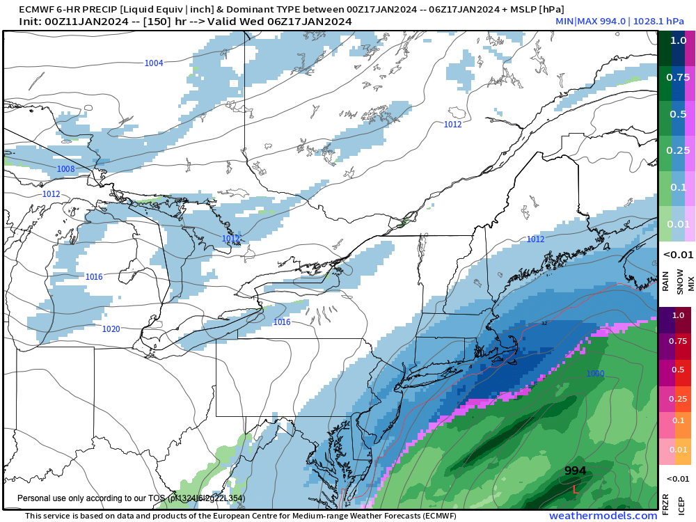
–Snow and rain arrives late Friday night before midnight and is out of here by mid morning Saturday
–Not as strong of a storm as the past one, but still should lay down 1-4″ of wet snow well north of the Pike, along with either side of 1″ of rainifall
–Due to antecedent wet soils and swollen rivers, Flood Watches are up, as even an inch or more of water could cause additional minor flooding issues
–Most wind gusts 25-40mph, but over 50mph possible in far northwest MA into southwest VT and eastern NY
–A few showers remain into Saturday morning, and temps should be climbing into the 40s early Saturday morning as the storm passes well west of us
–Temps top out in the low 50s and then crash through the day as modified Arctic air starts to spill into the region
–West winds will gust over 30mph at times, becoming blustery with lows dropping into the mid 20s as breezes continue
–Sunday looks COLD with highs in the mid 20s to mid 30s with some lake effect snow showers into the Berkshires, with lows in the teens
–Monday is fair but cold with highs in the 20s to low 30s and lows in the low teens
–Tuesday at the moment could produce a more light to moderate snowfall, and it will be cold
–Behind that system, the Arctic hammer drops with highs in the teens and 20s and blustery conditions, so gear up for the cold, people!
~~~~~~~~~~~~~~~~~~~~~~
YOUR MORNING DISCUSSION
~~~~~~~~~~~~~~~~~~~~~~
Good morning everybody, I’m going to produce a more comprehensive look at our incoming storm system and cold pattern change for late this afternoon, but the Nutshell above covers the highlights of our incoming weather, being the following:
1. Generally fair weather through early Friday evening with a few snow showers in the Berks/SVT late today
2. Our next storm arrives late tomorrow night and brings more accumulating snow in similar areas, with rain/mix elsewhere in the region, along with gusty southerly winds in spots
3; The storm leaves before noon Saturday, and winds pick up out of the west and cold air empties into the greater WMass region, the beginning of our winter pattern change
4. Cold, fair, blustery Sunday and Monday
5. Snowstorm potential continues for Tuesday, and snow would fluffy powder
6. Even colder mid to late week with another snowstorm possible by Friday
I will go into the hows and whys in this afternoon’s/evening’s report with more informational graphics.
Have a great day!
>>> BE KIND <<<
“Hello babies. Welcome to Earth. It’s hot in the summer and cold in the winter. It’s round and wet and crowded. On the outside, babies, you’ve got a hundred years here. There’s only one rule that I know of, babies: Goddamn it, you’ve got to be kind.”
–Kurt Vonnegut