
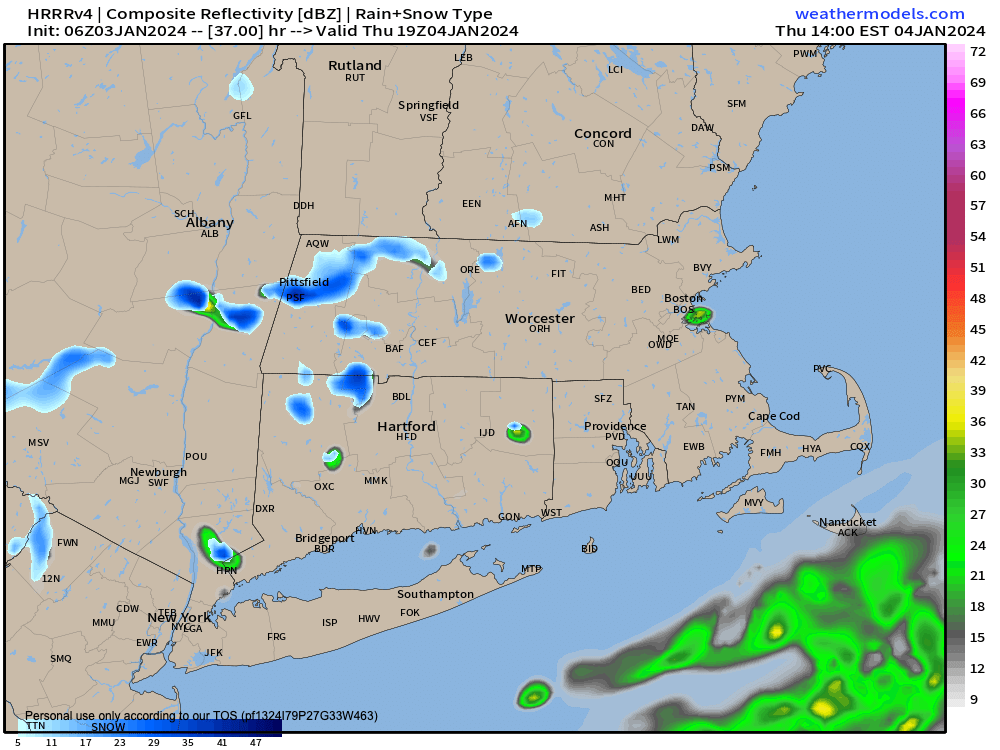
A few snow showers possible Thursday
TABLE OF CONTENTS
* Daily Celestials (Sun/Moon Data)
* Weekly Weather Nutshell
* Morning Discussion
* TIP: Scroll below for sections, or read all
~~~~~~~~~~~~~~~~~~~~~~
YOUR DAILY CELESTIALS
~~~~~~~~~~~~~~~~~~~~~~
STAR:
–OUR STAR WILL RISE AT: 7:18am this morning
–OUR STAR WILL SET AT: 4:30pm this evening
–TOTAL DAYLIGHT TIME: 9 hours and 12 minutes
MOON:
–OUR MOON WILL SET AT: 11:21am this morning
–MOON SET DIRECTION: West
–OUR MOON WILL RISE AT: 12:08am tomorrow morning
–MOON RISE DIRECTION: East
–MOON PHASE: Waning Gibbous (56.4%)
~~~~~~~~~~~~~~~~~~~~~~
A NOTE FROM OUR SPONSOR
~~~~~~~~~~~~~~~~~~~~~~
Dave Hayes The Weather Nut is Sponsored by Individual Community Members, Patrons, and Tandem Bagel Company… No matter the weather, Tandem Bagel is always there for you at several valley locations to make your mornings brighter! With bagels baked fresh daily (including Gluten-Free options), house-whipped cream cheese, coffee, and tons of lunch options, Tandem is the perfect quick stop for lunch, breakfast, or a coffee and bagel to go. Find them in Easthampton, Northampton, Hadley, Florence, and West Springfield, or use their super-streamlined online ordering tool by visiting their website.
~~~~~~~~~~~~~~~~~~~~~~
YOUR WEEKLY WEATHER NUTSHELL
~~~~~~~~~~~~~~~~~~~~~~
–Some sunny breaks possible, but overall clouds increase today, tonight and tomorrow
–Highs reach the mid 30s to low 40s today with a light west wind
–Lows drop into the mid to upper 20s as clouds thicken with an approaching northern stream system
–Cloudy on Thursday with a few snow showers possible, including with the frontal passage in the later afternoon
–Highs will be in the 30s for most of us, and near freezing in the high terrain
–A cold front moves through late afternoon with some clearing in the cloud deck
–Northwest winds pick up and gust 15-30mph at times, with cold air advecting into the region
–Lows drop to the teens with wind chills in the single digits, so bundle up when walking the dog late at night or early Friday morning
–Friday is cold but sunny, with highs in the mid 20s to mid 30s with winds slackening, and lows in the upper teens to low 20s
–Saturday sees clouds building ahead of our storm system, the track of which still carries uncertainty
–Saturday highs only reach the upper 20s to mid 30s, and with lows in the 20s before any precip arrives, snow will be the precip type
–Sunday looks snowy at the moment, but anything from a moderate to borderline heavy snowstorm to just a light or light to moderate event is still possible, so stay tuned for updates as we get closer
~~~~~~~~~~~~~~~~~~~~~~
YOUR MORNING DISCUSSION
~~~~~~~~~~~~~~~~~~~~~~
Good morning everybody, at this stage there isn’t much to add to the Weekly Nutshell above. Obviously, everyone is interested in the Sunday snow potential (me included!), but as far as I can discern at this stage, we’re looking at anything from a 2-4″ type light event if it tracks south and east, or up to a 5-10″ type storm if it gets thrown more north and west.
It doesn’t look like a nor’easter, in that there will be no big comma head low center forming as an upper low captures a surface low and closes off, producing a windy mid-latitude cyclone.
Instead, this looks like a progressive, east-northeast tracking storm that forms sort of a ribbon of wintry precipitation with cold air north and west, and juicier and milder air south and east, witih the great WMass region (or a portion of it) in the middle where those two combine to produce snow.
I will keep you updated on it, but there’s not much else to say at this point.
The only other items of note are the cold frontal passage tomorrow evening which will create very cold and blustery conditions Thursday night into Friday morning, and the potential for another storm about a week from today which is more likely to be a brief snow to rain with potential for wind and heavy rain, or a snow to ice to rain event, if a secondary low is induced off of the Mid-Atlantic coastline.
Anyway, those are the coming weather attractions, and I will keep my digital periscope up and report back what I’m seeing as we get closer to these events.
Today looks calm and seasonable, and I hope it’s a great one for you!
>>> BE KIND <<<
“Hello babies. Welcome to Earth. It’s hot in the summer and cold in the winter. It’s round and wet and crowded. On the outside, babies, you’ve got a hundred years here. There’s only one rule that I know of, babies: Goddamn it, you’ve got to be kind.”
–Kurt Vonnegut