
Good morning everybody, and Merry Christmas to you! We’ve got patchy dense fog in the region this morning, which should thin out later this morning as temps come up into the low to mid 40s.
Any patchy drizzle should dry up with time and we will be left with a mostly cloudy day, with lows tonight in the mid 30s.
Tuesday looks mostly cloudy as well, and drier, and milder, with highs in the 45-50º range which should last through Thursday, with lows Tuesday night into the upper 30s as a few showers approach very late.
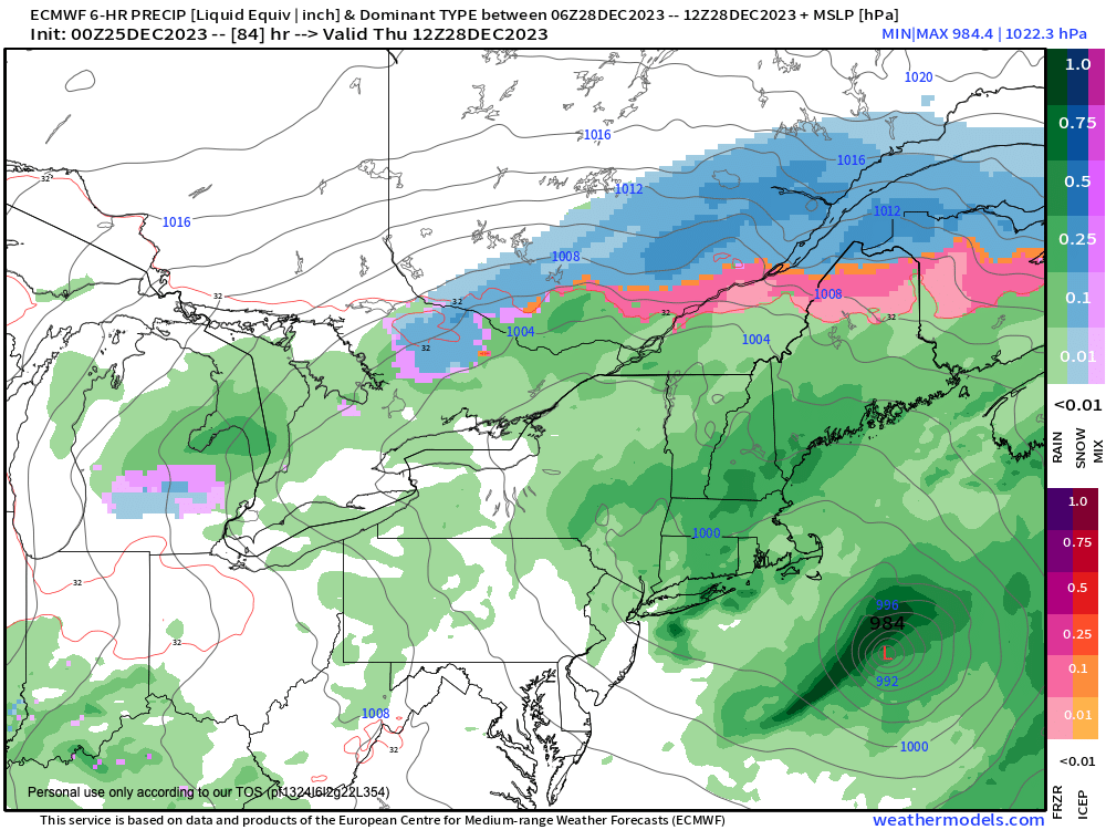
Wednesday, Wednesday night and Thursday morning look showery, with some periods of heavier rain, with up to an inch or so expected as a storm tracks into the northeast U.S.
By Friday and Saturday a northwesterly flow should set up and cool us back down into the mid 30s to low 40s for highs with potential for periods of snow showers, so I will update you on that we get closer.
The good news is that New Year’s Eve looks dry for now, and not too cold, so hopefully plans will be supported for that night.
Have a great day, and safe travels this morning especially, given that visibilities will be low. Take your time and enjoy your friends and family if you are celebrating today!
Merry Christmas!