
My 9th Edition, 2023 Weather Wall Calendars are still available if you’d like one for another room of your home, or office, etc.
——————————-
DAVE’S WEEKLY WEATHER NUTSHELL
–A few snow showers in northern MA, SVT and SWNH this morning
–Otherwise, decreasing clouds with partly sunny skies on average, though northwest zones may see more clouds than sun
–Above freezing today and every day going forward through middle of next week
–One more thaw/freeze cycle today/tonight so watch for black ice patches in the morning
–Fair weather Thursday and Friday with partly to mostly sunny skies and 40s and 50s for highs well into next week, lows 30s
–Showers arrive for New Year’s Eve so pack an umbrella for your celebrations
–Showers last into New Year’s Day
–Fair weather early next week with more rain by mid-week
Now then, before we jump into the weather discussion/details below, let’s check a note from our local and delicious sponsor, #TandemBagelCo, with their newest location in West Springfield, MA.
——————–
A NOTE FROM OUR SPONSOR:
DHTWN Is Sponsored by Members, Patrons & Tandem Bagel Company: No matter the weather, Tandem Bagel is always there for you at several valley locations to make your mornings brighter! With bagels baked fresh daily (including Gluten-Free options), house-whipped cream cheese, coffee, and tons of lunch options, Tandem is the perfect quick stop for lunch, breakfast, or a coffee and bagel to go. Find them in Easthampton, Northampton, Hadley, Florence, and West Springfield, or use their super-streamlined online ordering tool by visiting their website.
——————————————-
***DHTWN DAILY WEATHER REPORT***
——————————————-
NWS ALERTS
–None
DHTWN REMINDER
–The odds of being a human is 1 in 400,000 billion… make it count, even in a small way (see Kurt Vonnegut quote at end of post)
DAILY CELESTIAL (STAR):
–OUR STAR ROSE AT: 7:18am this morning
–OUR STAR WILL SET AT: 4:25pm this evening
–TOTAL DAYLIGHT TIME: 9 hours and 7 minutes
NIGHTLY CELESTIAL (MOON):
–OUR MOON WILL RISE AT: 11:19am this morning
–OUR MOON WILL SET AT: 10:53pm tonight
–MOON RISE DIRECTION: West
–MOON SET DIRECTION: East
–MOON PHASE: Waxing Crescent (33.5%)
———————-
DAILY TERRESTRIAL (ZoneCast)
ZONE 1 (Northern Region)
Southern VT, Southwest NH, N. Taconics NY
–High Temps: Mid to Upper 30s
–Low Temps: Low to Mid 20s
–Wind: Light Southerly
–Skies: Mostly cloudy, becoming partly sunny
–Precipitation: A few snow showers this morning
ZONE 2 (Central Region)
WMass, N. CMass, N. Litchfield County, C./S. Taconics NY
–High Temps: Upper 30s to Low 40s
–Low Temps: Low to Mid 20s
–Wind: Light Southerly
–Skies: Mostly cloudy, becoming partly sunny
–Precipitation: A few snow showers this morning
ZONE 3 (Southern Region)
S. CMass, S. Litchfield County, NC.CT, & NE.CT
–High Temps: Upper 30s to Low 40s
–Low Temps: Mid to Upper 20s
–Wind: Light Southerly, some gusts to 20mph
–Skies: Mostly cloudy, becoming partly sunny
–Precipitation: None
———————-
WHERE’S DAVE?
–I’ve been reporting our weather daily here for almost 10 years
–Sign up for my free weekly newsletter here
–Please visit my this FB page via the app or web like selecting a channel you want to tune into if I’m not auto-kissing your screens
–I’m always here daily, so keep stopping by!
———————-
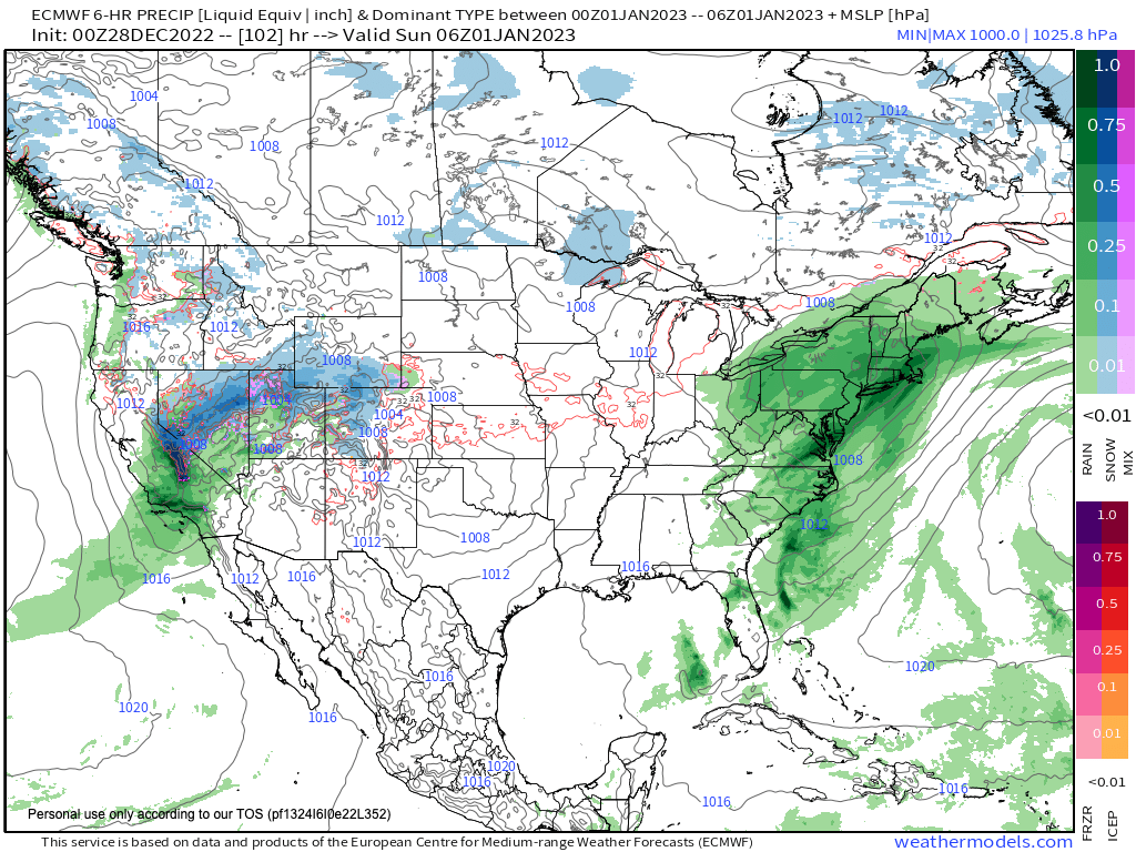
MORNING DISCUSSION
Good morning everybody, we went through 2 or 3 wintry systems in December, but as we come to a close we’re taking an early pause from those conditions as the overall ridge-trough pattern flips with west coast troughing and east coast ridging, associated with a sprawling, large area of high pressure that is building along the east coast and promoting deep southwest flow into the greater WMass region.
This will first manifest in the form of above-freezing highs today in the mid to upper 30s after a cold start in the upper teens to low 20s this morning.
Morning snow showers in our northern zones and clouds just about everywhere will dry or thin, and we’ll end up with a dry, partly sunny day by afternoon with varying amounts of clouds.
Highs will reach the mid to upper 30s on average with lows in the 20s.
Thursday and Friday feature a further push of high pressure into the region resulting in highs under mostly sunny skies in the mid to upper 40s Thursday and upper 40s to low 50s Friday. Lows will dip into the low to mid 30s.
We cloud up on Saturday as a large, rainy frontal system sweeps towards New England, with low pressure passing well northwest of us.
Highs Saturday despite the overcast skies will reach the upper 40s with showers arriving by late afternoon and lasting through New Year’s Eve with lows in the upper 30s and into New Year’s Day with highs in the low 50s.
That system exits east and more high pressure builds into the region for Monday with highs in the 40s, and then we have to watch the timing of the next system which could bring showers in here as soon as Tuesday, and certainly by Wednesday as temps may spike well into the 50s by mid week before the potential for a colder pattern resumes by the following weekend.
Have a great day, and if you missed the order deadline I still have my 2023 weather calendars with gorgeous and local WMass photos at the link below: I won’t be doing one next year, so get ’em while you can!
Follow me on Twitter while it’s still a thing.
AND REMEMBER…
“Hello babies. Welcome to Earth. It’s hot in the summer and cold in the winter. It’s round and wet and crowded. On the outside, babies, you’ve got a hundred years here. There’s only one rule that I know of, babies: Goddamn it, you’ve got to be kind.”
–Kurt Vonnegut