
WEEKLY WEATHER NUTSHELL
We have mostly fair weather through this coming Friday and a cold but calm Christmas for today and the ending of Hanukkah with milder temps and more rain by New Year’s Weekend, but before we dive into all of the weather details below, let’s check a note from our new local weekend sponsor, #CranberryHillHealingArts located in Amherst, MA.
——————–
A NOTE FROM OUR WEEKEND SPONSOR:
DHTWN is sponsored by members, patrons, and Cranberry Hill Healing Arts. The turning of the seasons can be challenging, and Carolyn Walker of Cranberry Hill Healing Arts in Amherst is there for you. When you are searching for ways to be at peace, seek relaxation, and feel more energetic, let Reiki & Sound Healing guide you on your journey to wholeness. Through energy work and the gentle vibrations of singing bowls, chimes, and chanting, Carolyn crafts a safe and calming space to experience renewal. Learn more and/or book your session today by visiting her website.
——————————————-
***DHTWN DAILY WEATHER REPORT***
——————————————-
Good morning everybody, I hope you have an enjoyable day today however you’re spending it. This reports is going to be brief as there isn’t much to discuss at the moment, and it’s a good day for a needed respite.
I will deliver the details via double–dashes below, and hope you have a wonderful rest of your day and night, and I wish safe travels to you and a happier and healthier 2023 which is coming in quick now with one more week in 2022.
SUMMARY
–In the wake of strong low pressure that brought all the weathers to our region on the 22nd and 23rd, west-southwest flow remains for the moment
–The ocean effect snow that brought 5-10″ to the Vineyard and feet of snow and unrelenting blizzard conditions to western NY winds down today and tomorrow as that flow weakens
–For us, we get one last day of wind gusts up to 20mph or so with partly sunny skies on average and highs in the upper teens to mid 20s
–Clouds decrease tonight with slackening wind and very dry air in place which will allow temps to drop into the upper single digits to low 10s which will be the coldest night we see likely over the next 10 days at least
–For Monday, highs will reach the mid to upper 20s with clouds building in the afternoon thanks to a weak disturbance moving through the region
–A few light snow showers are possible Monday night into very early Tuesday morning as it passes through with lows in the teens
–Tuesday and Wednesday are mostly sunny as high pressure builds into the region with highs in the upper 20s to low 30s Tuesday and the mid to upper 30s Wednesday with lows in the teens Tuesday night and 20s Wednesday night
–Thursday and Friday get milder as an easter upper ridge sets up and pushes now-modified air out of the southwest into our region
–Highs will be in the low to mid 40s Thursday and mid to upper 40s Friday under partly to mostly sunny skies
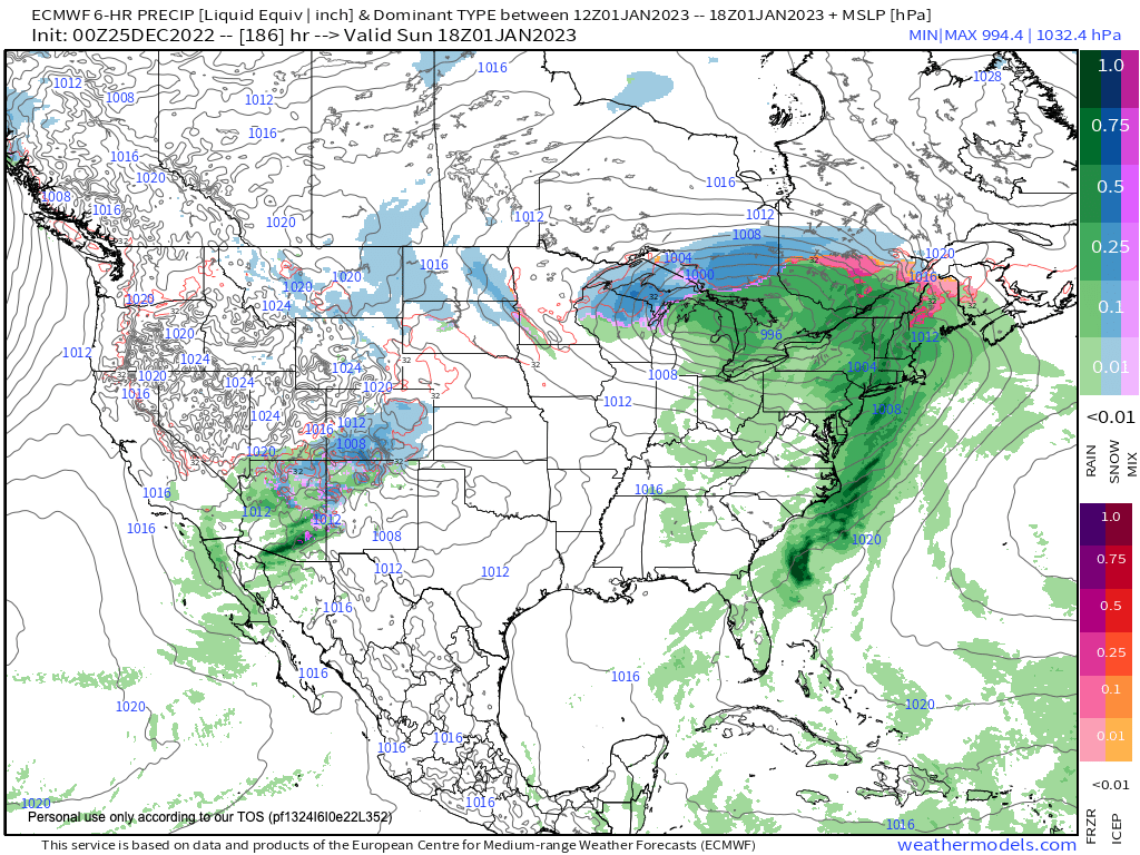
–By the weekend, clouds will increase as a storm looks to track through the Ohio Valley and bring rain to our region for New Year’s Eve into New Year’s Day, and I of course will update you on this impact as we get closer to it
Have a great day!
You can also follow me on Twitter.
AND REMEMBER…
“Hello babies. Welcome to Earth. It’s hot in the summer and cold in the winter. It’s round and wet and crowded. On the outside, babies, you’ve got a hundred years here. There’s only one rule that I know of, babies: Goddamn it, you’ve got to be kind.”
–Kurt Vonnegut